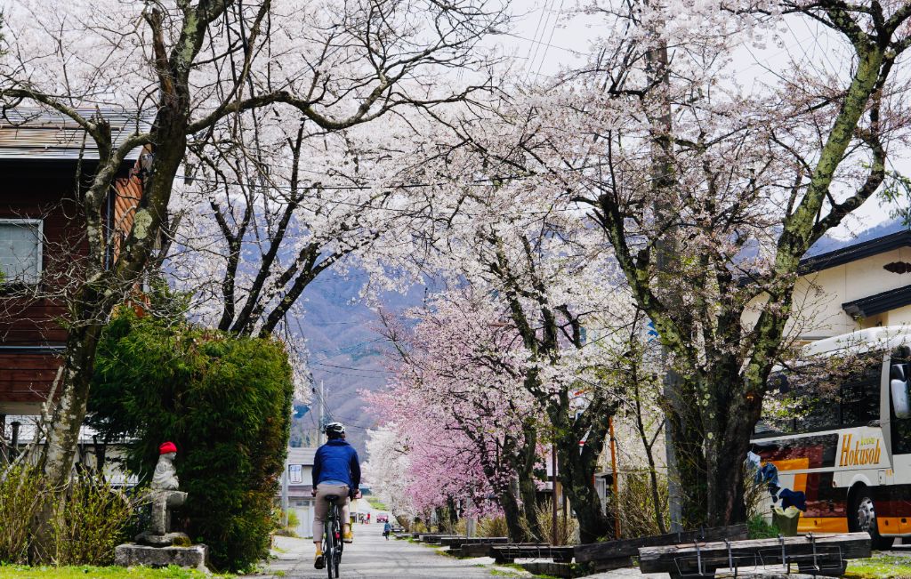
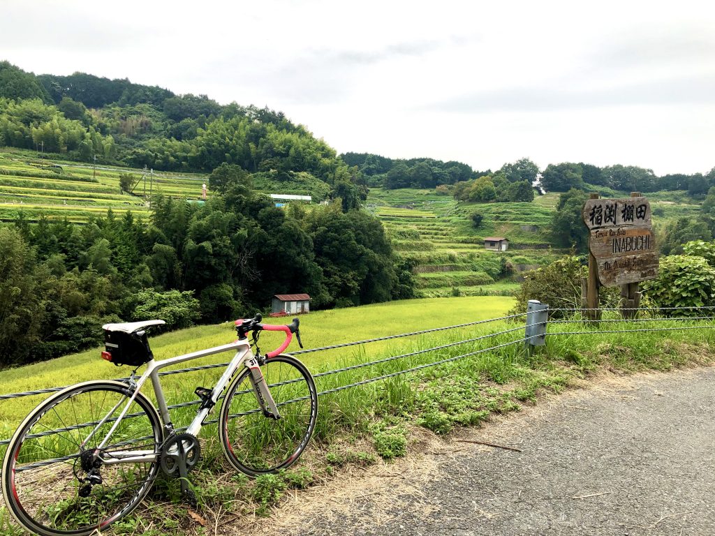
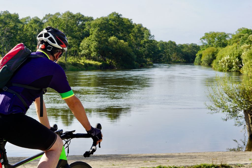
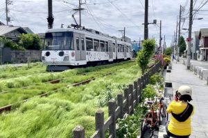
This route starts and finishes at Roadside Station Seseragi no Sato Koura. The route runs through the mountainous area of Suzuka Mountains, so be sure to bring a supply of food.
We will visit three dams and enjoy Eigenji Dam Curry with fried char at the roadside station.
Contents
Starting from Roadside Station Seseragi-no-Sato Koura
Starting from Roadside Station Seseragi-no-Sato Koura along Route 307, we will soon head into the mountainous area, so be sure to prepare more rations and drinks in advance.

A Shrine with a Legend about Dogs
Cycling along Prefectural Route 226 along Inukami River, you will arrive at Otaki Shrine.
Also called “Taki no Miya,” this shrine enshrines the god of water and the god of nature.
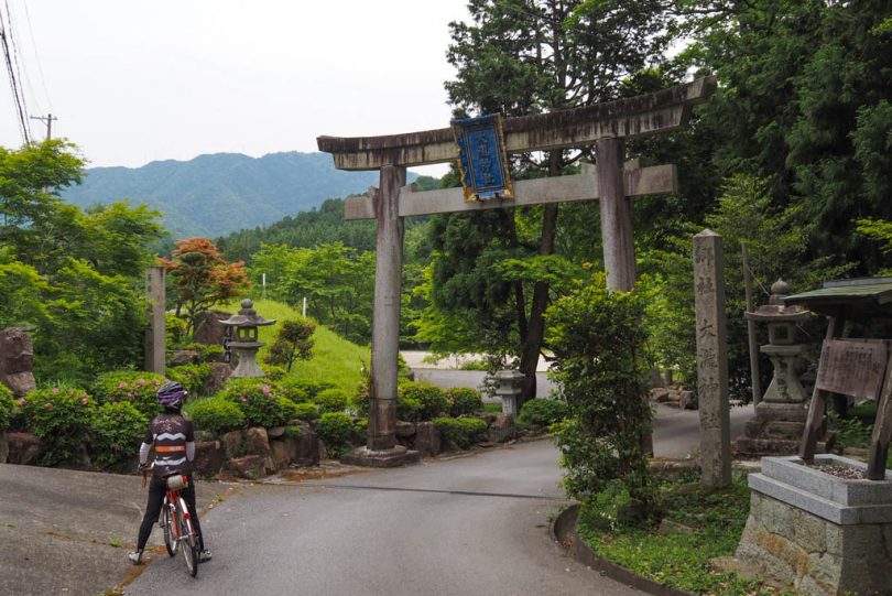
There is a sad legend about dogs at this shrine.
The first prince of the Japanese warrior, Takemikoto, came to this place to exterminate a giant snake that lived in Inukami River. The dog barked so loudly that he beheaded the dog, who then bit into the throat of the serpent and saved his master.
The legend goes that the master regretted beheading his dog, which had barked to warn him of danger, and built a mound to mourn his beloved dog. I feel sorry for the dog, though…


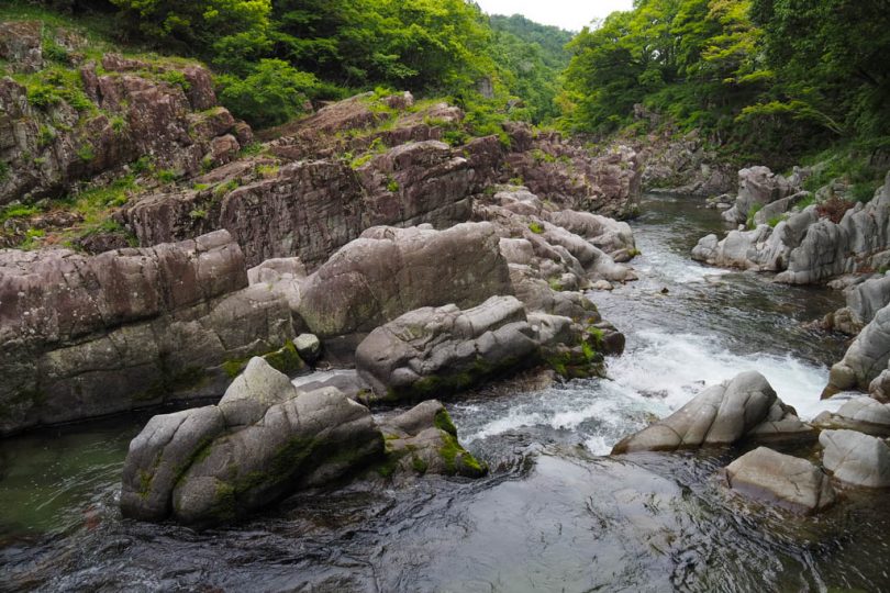
At the back of the shrine is “Daija-no-fuchi,” where the legendary giant snake used to live. You can enjoy the rapids flowing down the 10-meter drop and the oddly shaped rocks.
Giant Monument of Nijobo
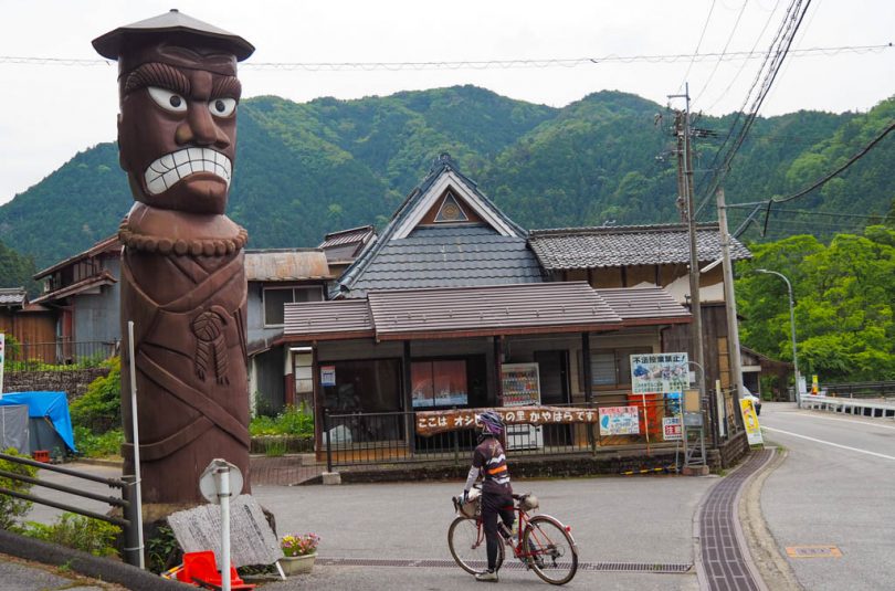
A giant statue appears in the mountains as you ride along the Inukami River. It is a 6-meter tall yokai (specter) named Nijoubou, carved into a cherry tree. When seen up close, it is quite impressive.
Inukami River Dam blends into the forest
After passing the “Oshidori-no-Sato (Mandarin Duck Village) Kayahara” where Nijobo is located, you will ride through a narrow alley and enter a village.

After passing through the village, the road becomes narrower, and after climbing a short slope and rounding a curve, Inukami River Dam opens up before your eyes.
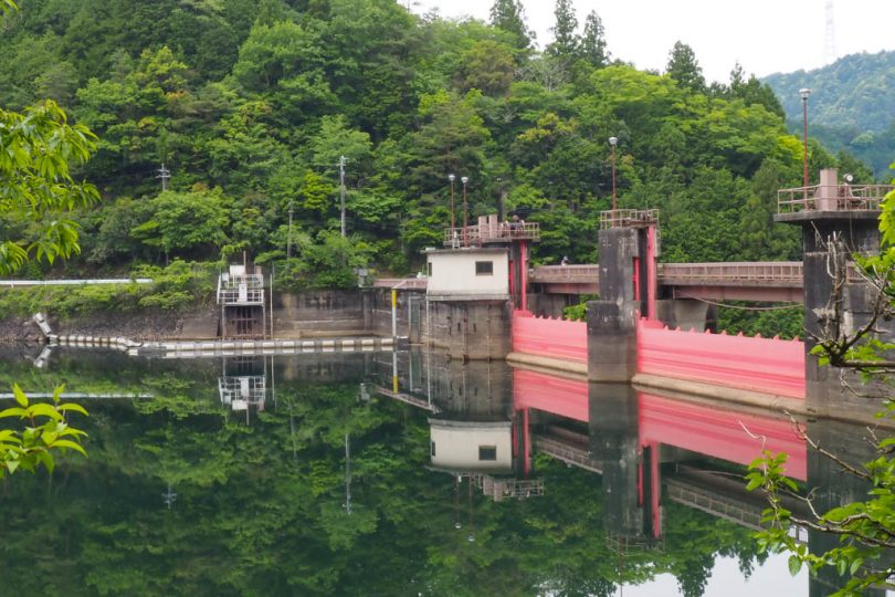

The dam was built to supply water for agriculture. Construction of the dam began in 1934, but was interrupted during the war and completed in 1946.
The dam is integrated into the deep forest, and its proximity to the lakeside is impressive. The road is narrow and there are sections without guardrails, so be careful when driving.
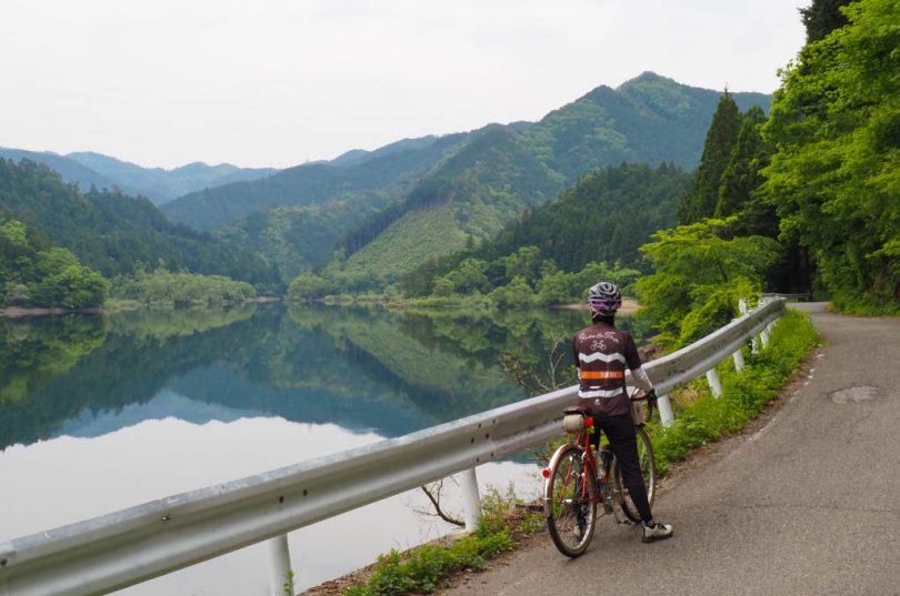
Arai-goshi (Ford) on the prefectural road
Passing Inukami River Dam, continue on Prefectural Road 34 along Inukami River. The road, lined with tall trees, is relatively gentle and easy to ride.
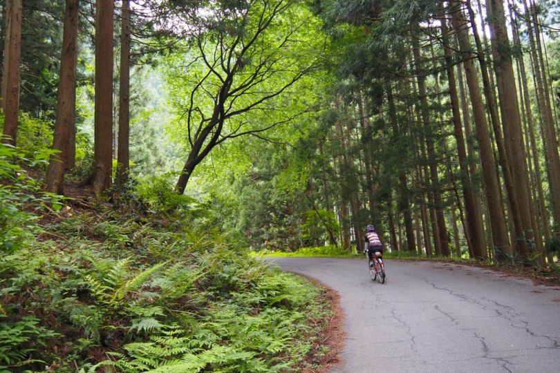

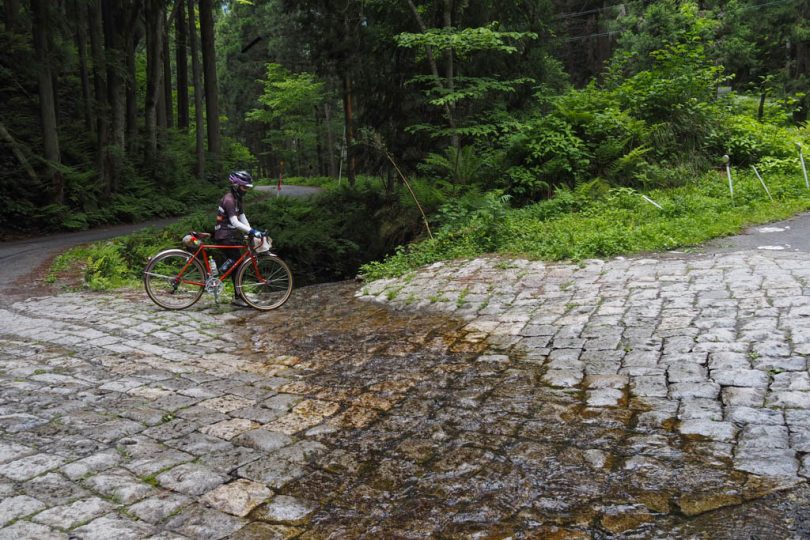
Turn left at the T-intersection and you will soon come to a “Arai-goshi”(ford) sign. This is a very rare sign, so be careful not to miss it.
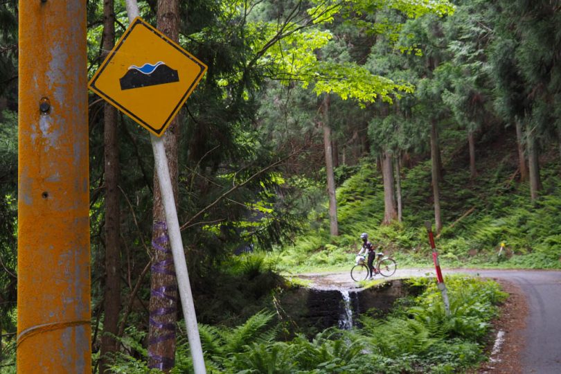
“Arai-goshi” sign refers to a place where a river flows over the road and the road passes over the river.
It is rare in Japan to find it on a prefectural road, so it seems that some people visit from far away.
Ride Kijishi Highway
After passing the aragi-goshi, the road climbs a little. The point of the peak is Tsutsui Pass, but there was no sign for the pass. Also, there is the torii gate of Prince Koretada’s mausoleum and Yamanokami Shrine. The road from this area to National Route 421 is called “Kijishi Kaido.”
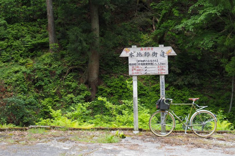
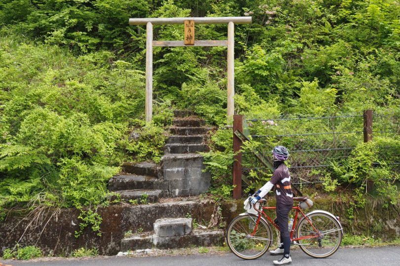
“Kijishi” are craftsmen who use a wheel to produce wooden crafts such as bowls and trays, and Okueigenji is said to have spread as the hometown of Kijishi.
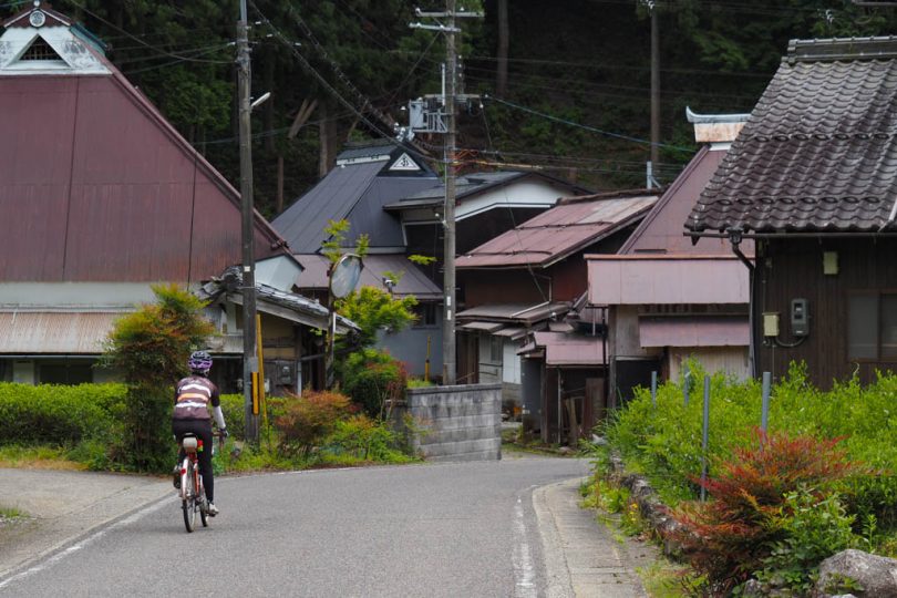
As you ride down the hill, you will gradually come to a village. This is the area where seven villages famous for Kijishi and Mantoko-cha (green tea) gather. The thatched tin roofs give the area a nostalgic atmosphere of an old-fashioned Japanese landscape.

Eating dam curry at the roadside station
Before Kanzaki River, turn left to go around and enter “Roadside Station Okueigenji Keiryu-no-Sato”. This is a large facility that has not appeared for a long time after the start of the tour. Let’s take a big break here.
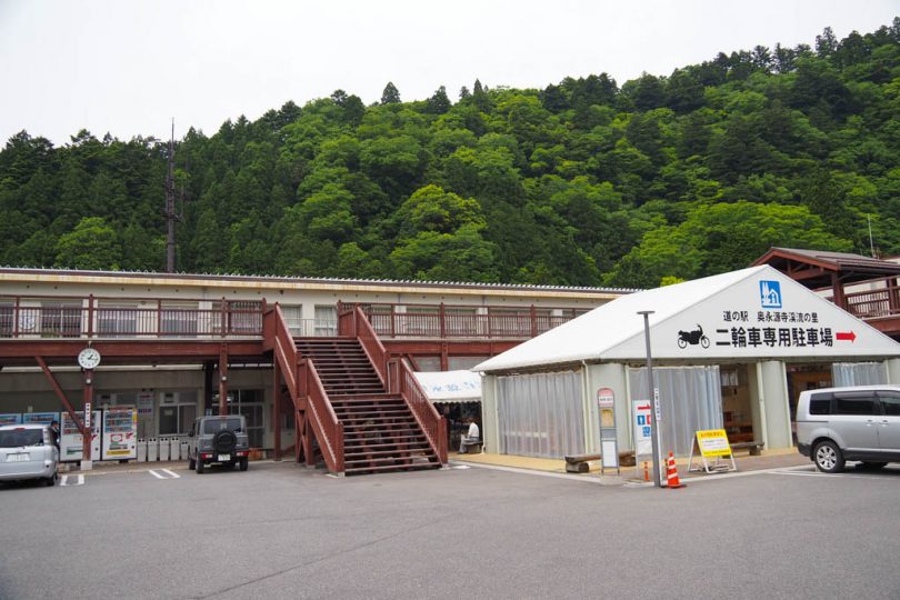
This roadside station opened in 2015, reusing a school building that was closed in 2003.
There is also a produce shop, a restaurant, a city hall sub-branch office and a clinic used by locals.
The roadside station’s original “Couple Tobita-kun” by the parking lot is a popular photo spot.

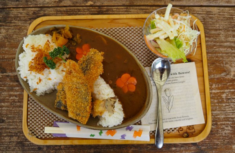
At Furusato Manabiya in the Roadside Station, visitors can enjoy “Eigenji Dam Curry,” a recreation of Eigenji Dam. It is a hearty dish with a large portion of fried rockfish on top.
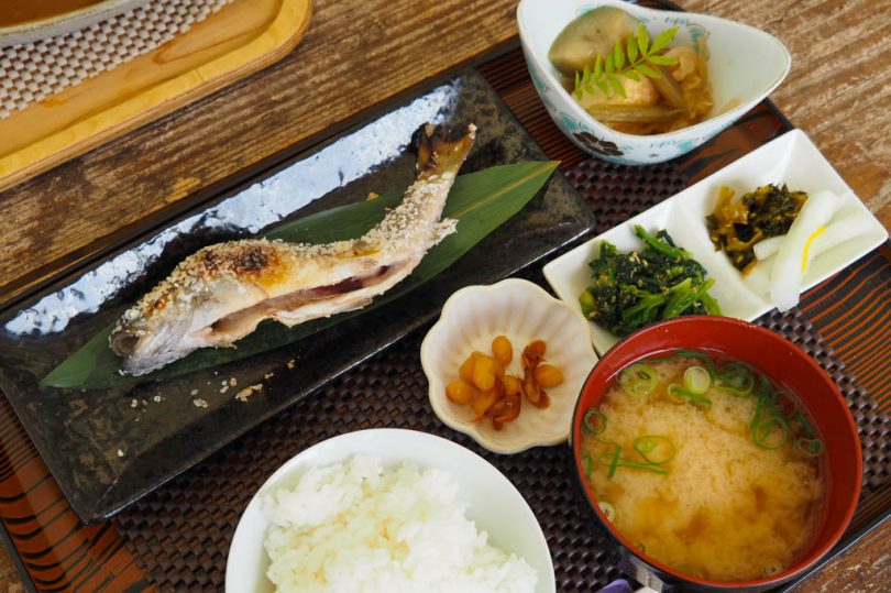
Other dishes include a set meal of grilled rockfish with salt.
Eigenji Dam
Ride National Route 421 along Echi River.
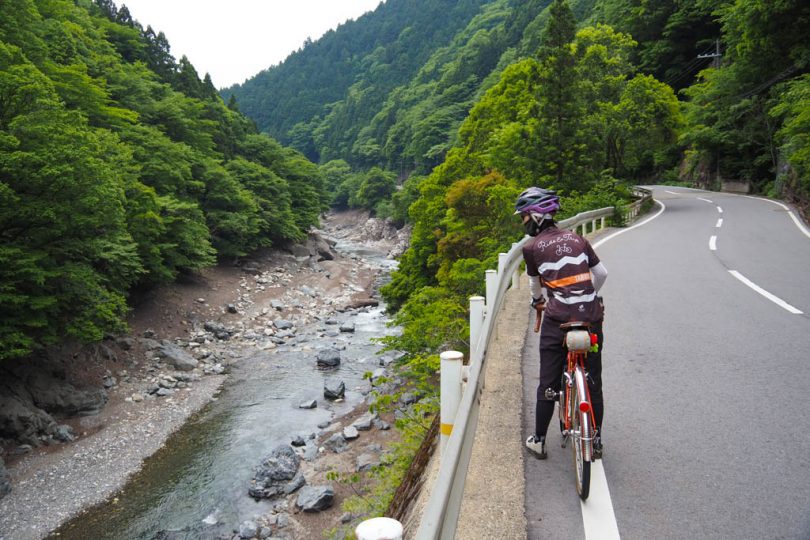
When the water level of the river gradually increases, you will come to Lake Eigenji. It is pleasant to ride along the side of Eigenji Lake, but please be careful when riding because the volume of cars increases a little because it is a national highway.
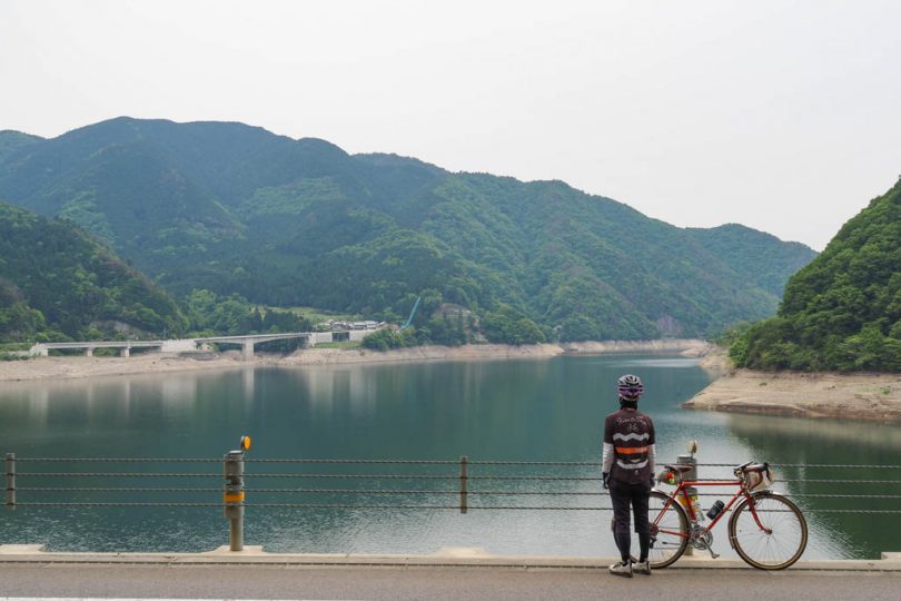
Eigenji Dam is an agricultural dam, a combination of a gravity-fill concrete dam and a rock-fill dam. It is especially beautiful during the season of autumn leaves, and has been selected as one of the “100 Dam Lakes.”

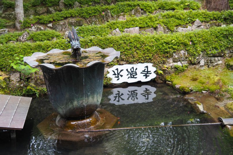
Walking around Eigenji Temple
Cross over to the other side of Echi River at Tanto Bridge, leave your bicycle and visit Eigenji Temple.
Eigenji Temple is the head temple of Eigenji School of Rinzai Zen Buddhism. It is famous for its autumn foliage, and the path along the temple is lined with green maple trees, which makes one feel that the temple must be beautiful during the autumn foliage season.
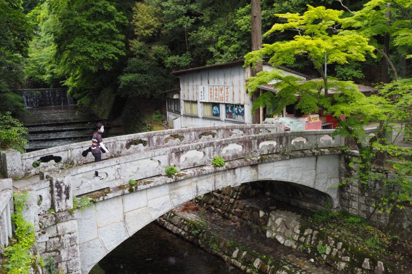
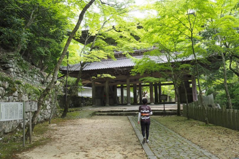
The main hall has a reed-thatched roof, which is rare in Japan, and its size is astonishing.
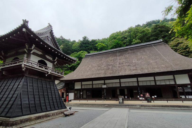
The garden is beautiful with moss and a dry waterfall.
Gelato at Ikeda Farm
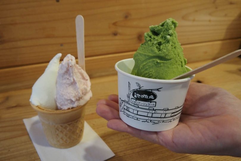
After crossing Tando Bridge and returning to Route 421, go a little further and turn left at the “Ikeda Farm” information sign. After a short ride up a narrow road, you will arrive at Ikeda Farm’s “Gelato Shop Koso.”
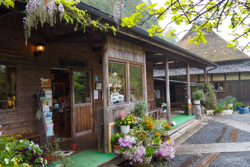
The milk is squeezed on the morning of the day and pasteurized, and the flavor of the ingredients is preserved without adding any flavoring. The store also offers seasonal flavors, so you will want to visit again and again.
Usogawa Dam with an observation deck
Cross Momiji Bridge and take Prefectural Road No. 508, riding through satoyama scenery. Turn right before National Route 307.
It is a short but uphill ride to Usogawa Dam. If you look up toward the dam, you will see a Japanese-style observatory.

Usogawa Dam is a rock-fill dam built in 1980.
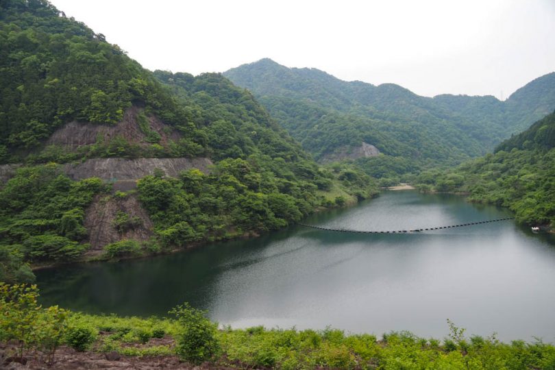
From the observatory, you can see the entire Koto Plain. The area around the dam is designated as Koto Prefectural Natural Park and is rich in greenery.

Koto Sanzan Kan Aisho
Turn off the road you came up and enter Route 307. After a short ride, you will arrive at “Koto Sanzan Kan Aisho” located at the entrance to Koto Sanzan Smart Interchange.
It was opened in 2014 as a tourist information dissemination facility to further revitalize the region.

It has a corner selling local specialties and a food and beverage corner.
It is a good place to take a break before reaching the goal.
The last stop is at Roadside Station Seseragi-no-Sato Koura, riding National Route 307 at a stretch.
Course Introduction
TABIRIN MAP:06 Koura Town Area,Shiga
Summary
This time, we rode “Oku Eigenji and Dam Tour” from among the four routes around Koura Town, Shiga Prefecture on the TABIRIN map. It is an intense route that takes you through three mountainous areas and three dams with a deep history of Kijishi. Don’t forget to take some refreshments!


