The North Alps region is located in the northwestern part of Nagano Prefecture. Nagano Prefecture North Alps Regional Development Bureau has set two courses: a 140-km route for advanced cyclists to enjoy the dynamic foothills of the North Alps, and a 100-km route for beginners and intermediate cyclists to enjoy the area at a leisurely pace.
The following is a cycling report on the 66-km course, which goes southward around the eastern half of the 140-km route for advanced cyclists to enjoy the Northern Alps in autumn.
Contents
- Start at JR Minami-Otari Station
- JR Chikuni Station – Course along the railroad
- Matsukawa Bridge – Roadside Station Hakuba
- Lake Aoki and Lake Nakatsuna
- JR Uminokuchi Station and Inao Station
- Hill Climb -Great Maple Tree of Seven Colors
- Cycling along Takase River
- The goal is Azumino Chihiro Park
- Course beyond: views of Mt.Koguma, Lake Kizaki, and Hakuba Mountain Range
- Course Introduction
- Summary
Start at JR Minami-Otari Station
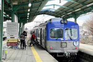
Minami-Otari Station, the northernmost station on the course, is on JR Oito Line.
It is the border station between the electrified section under the jurisdiction of JR East and the non-electrified section under the jurisdiction of JR West.
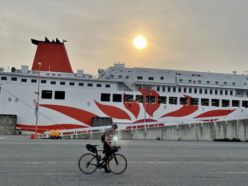
If you are cycling, you can also take Azusa limited express train from Shinjuku Station to Minami-Otari.
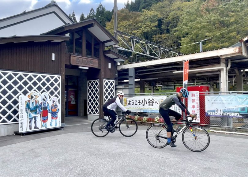
Cycling starts from Minami-Otari Station.
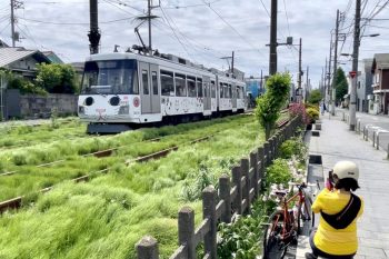
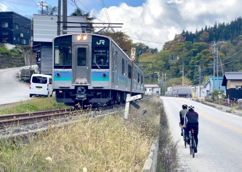
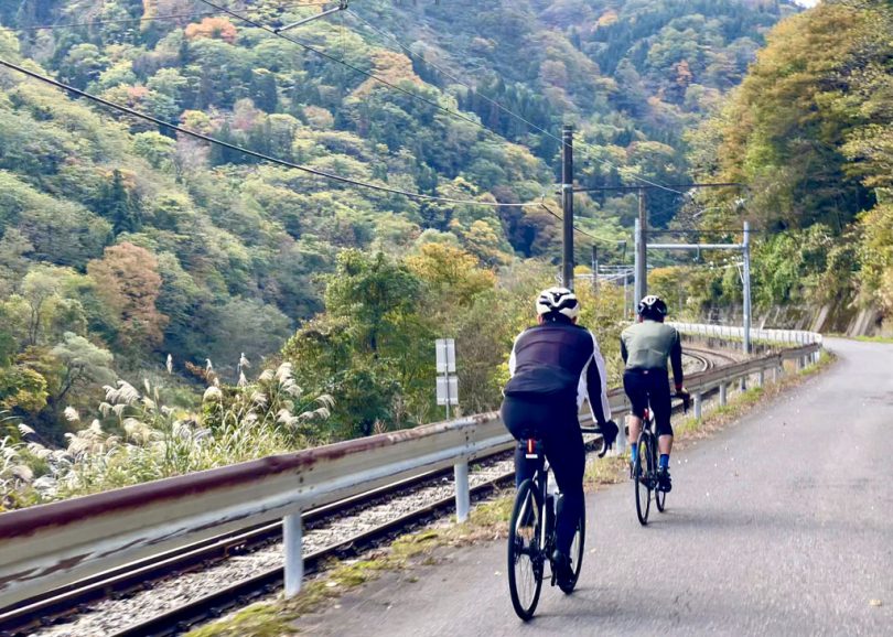
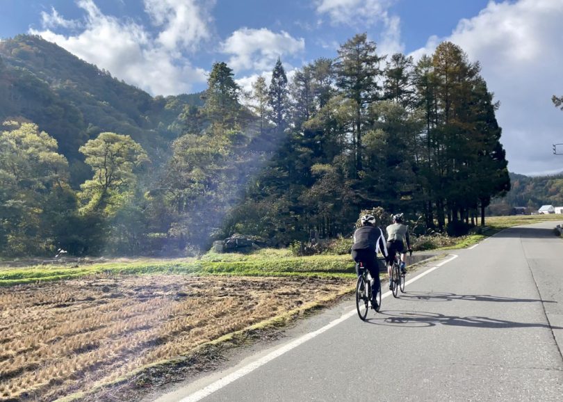
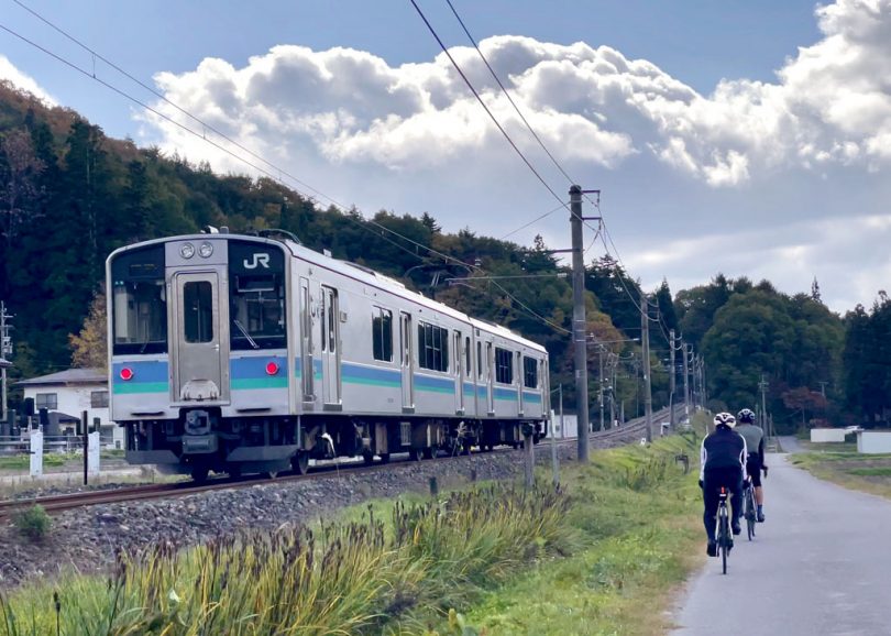
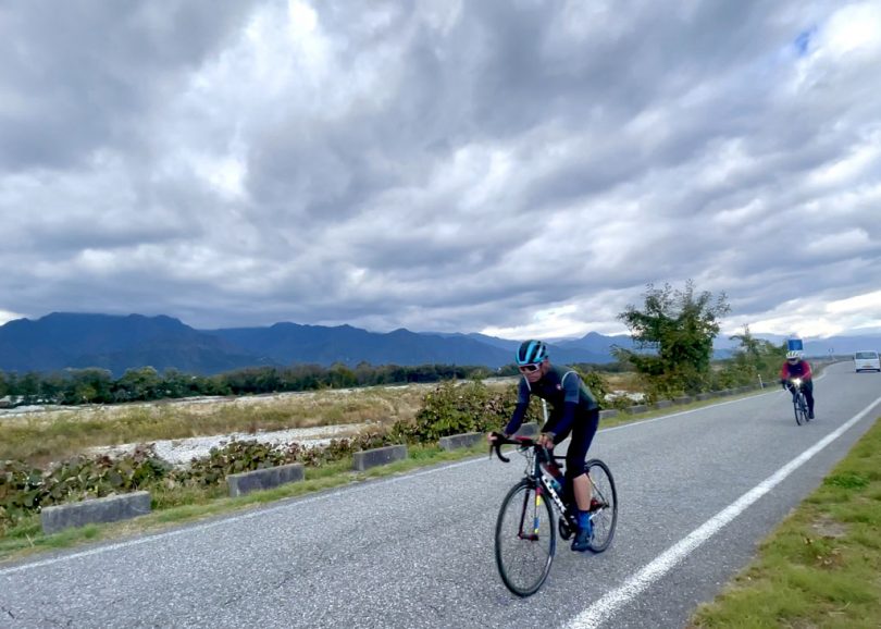
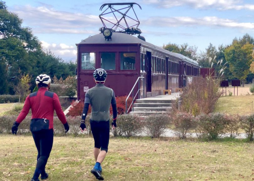
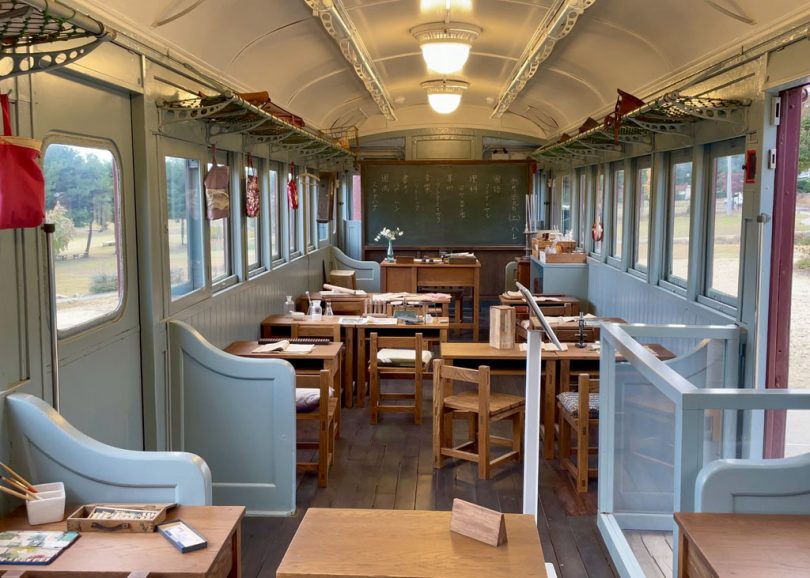
JR Chikuni Station – Course along the railroad
About 1.5km from Minami-Otari Station is Chikuni Station.
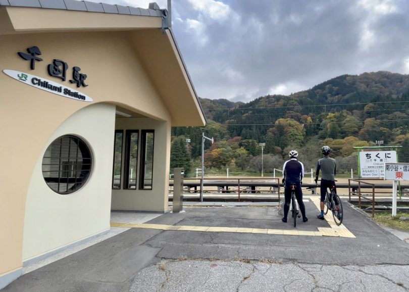
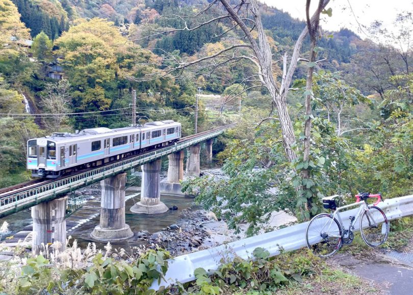
After the peaceful unmanned station, we will ride along JR Oito Line.
If your timing is good, you can ride alongside a train on this section and enjoy the beautiful scenery along Himekawa River.
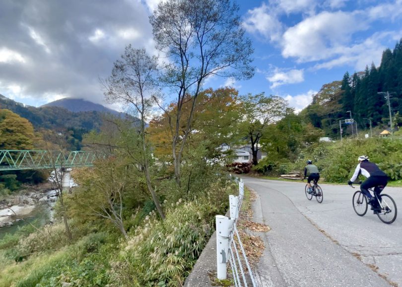
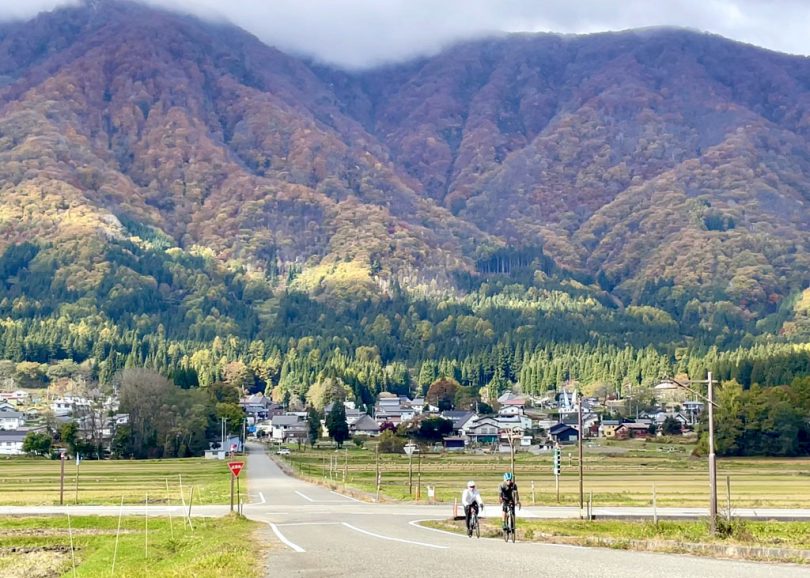
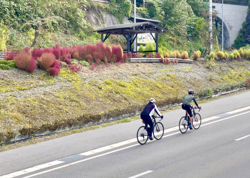
Matsukawa Bridge – Roadside Station Hakuba
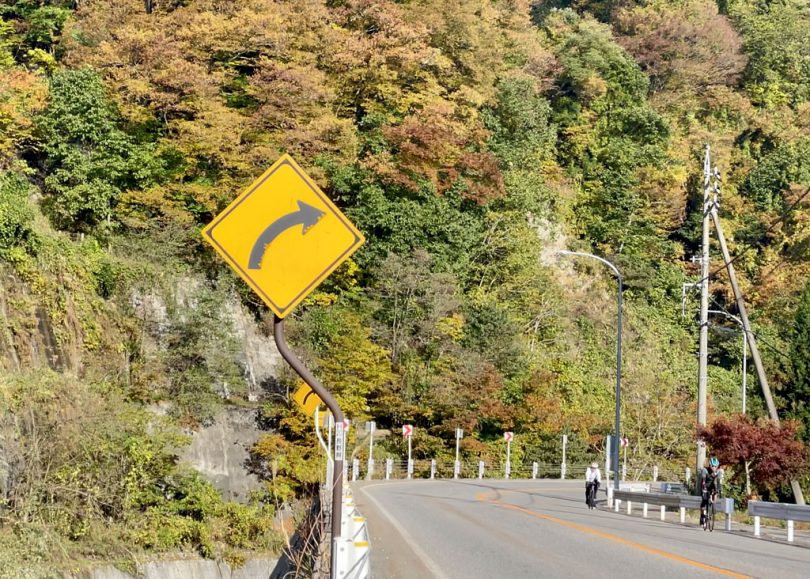
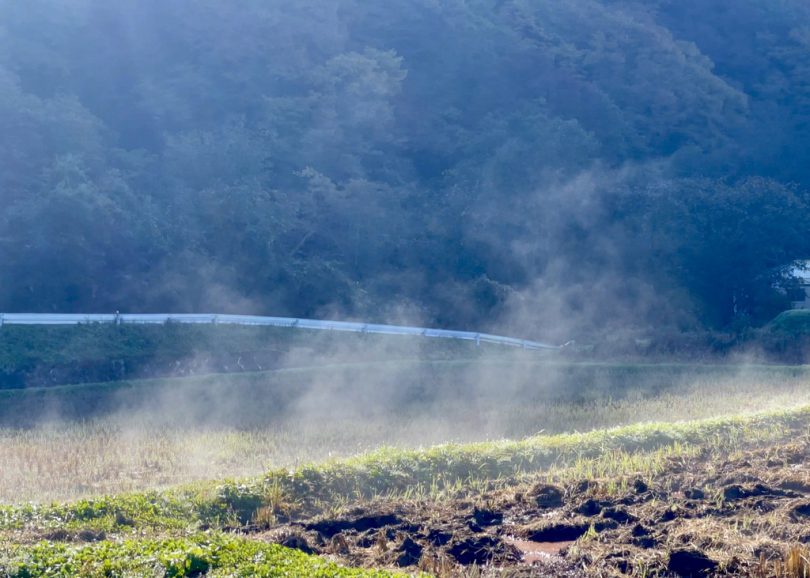
From Chikuni Station, follow Prefectural Route148 along Himekawa River for approximately 5.8km, taking in the scenery in the vivid autumn leaves, up a gentle slope and turn left when you pass the “Daiichi Himekawa Bridge”.
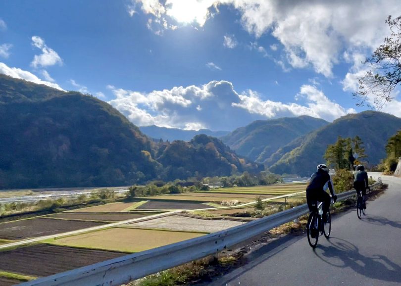
As you ride through the beautiful countryside, you will see the morning mist rising from the rice paddies.
If the timing is right for weather conditions and other reasons, you may encounter this kind of scenery.
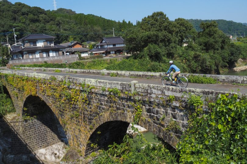
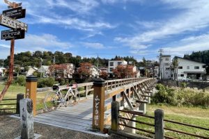
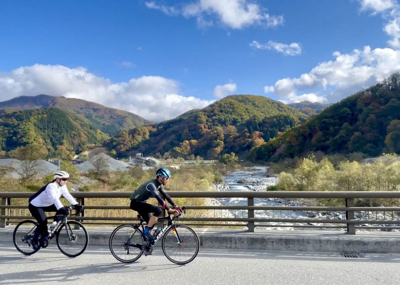
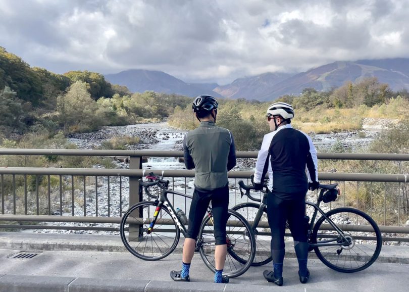
About 1.6km from there is Matsukawa Bridge.
Matsukawa Bridge, which crosses the river just before the confluence of Matsukawa River and Himekawa River, both originating in Hakuba mountain range, offers beautiful scenery.
From here, ski slopes and Hakuba Ski Jump Stadium (stadium for 1998 Nagano Winter Olympics) can be seen.
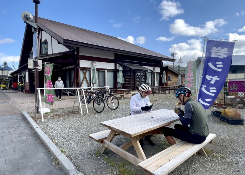
After cycling for a while from Matsukawa Bridge, take Prefectural Route148 again for about 7.5km to reach “Roadside Station Hakuba”.
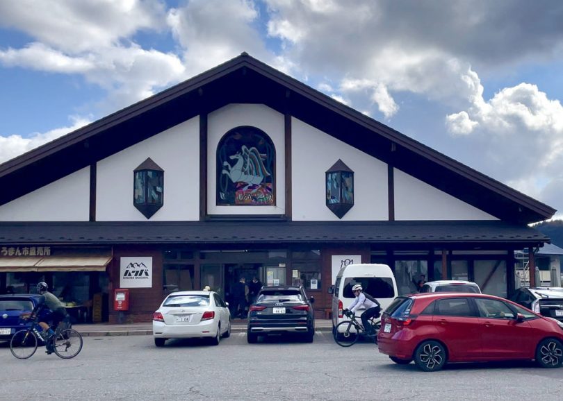
Take a break with a crepe made with apples, a specialty of this area.

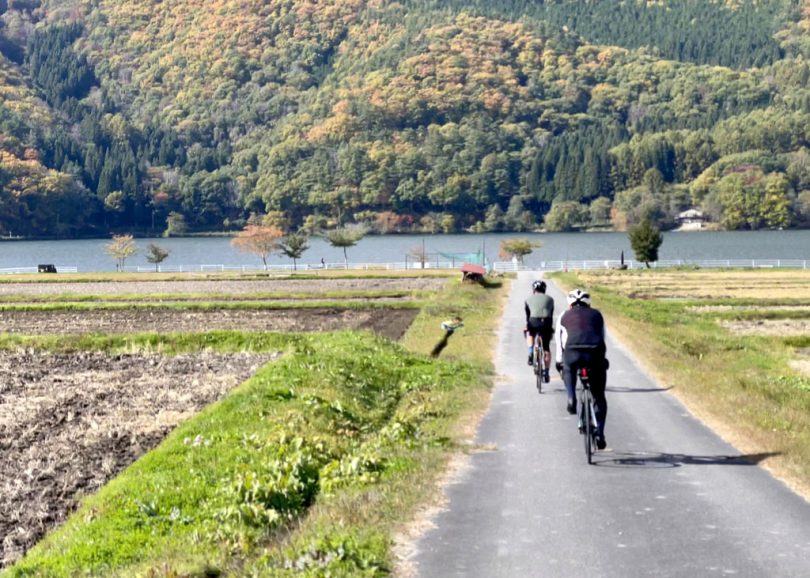
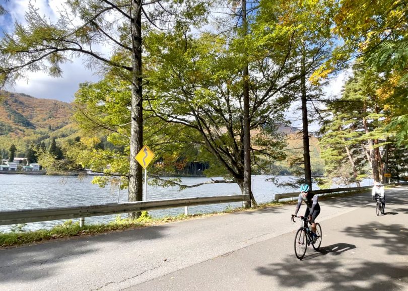
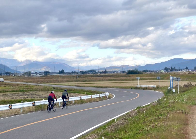
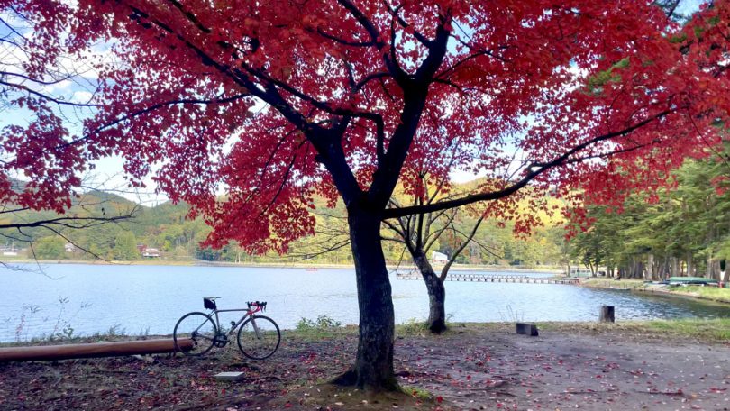
Lake Aoki and Lake Nakatsuna
From Roadside Station Hakuba, take the prefectural route toward Hakuba Cross Country Stadium (Snow Harp).
This was also the stadium for 1998 Nagano Winter Olympics.
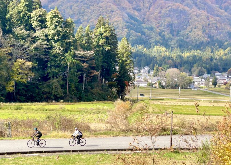
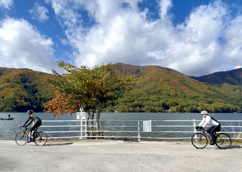
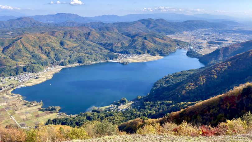
If you go south, you will reach Lake Aoki, the northernmost of Nishina-Sanko (The three lakes of Nishina).
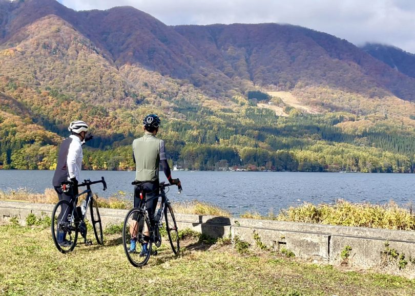
Nishina-Sanko is a collective term of the three lakes, which are located in the northern part of Omachi City, Nagano Prefecture.
Lake Aoki is the largest of Nishina-Sanko, with a circumference of 6.5km and a beautiful heart-shaped lake.
Some people enjoyed canoeing and SUP (stand up paddle) on the calm lake.
About 1.5km further south is Lake Nakatsuna, the smallest in the area (about 2.2 km in circumference) and located in the middle of Nishina-Sanko.
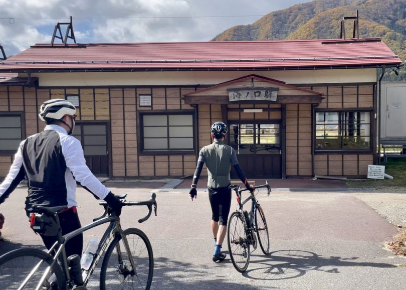
JR Uminokuchi Station and Inao Station
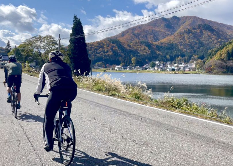
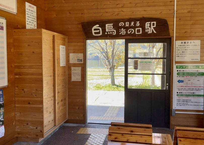
If you ride approximately 3.5km south on Prefectural Route148 from the shores of Lake Nakatsuna, you will find Uminokuchi Station, which is also a sacred place for anime.
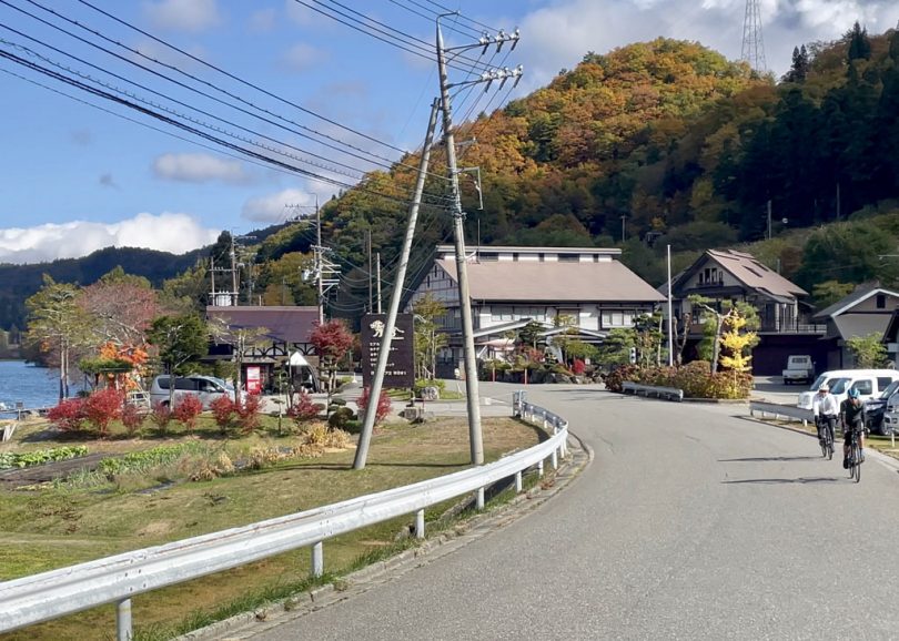
From this station, you can see Lake Kizaki, the most southerly point of Nishina-Sanko.
About 1.5km from Uminokuchi Station is Inao Station.
The gently sloping land in front of the station used to be a marshy area that extended out into the lake, but now it is a rich area of rice paddies.
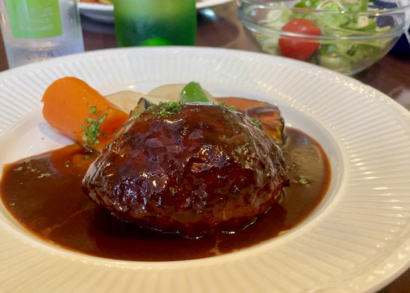
About 6km south of the lakeside of Lake Kizaki, we had lunch at a Western-style restaurant in downtown Omachi City.
Premium hamburger steak (with salad, bread or rice: 1,580yen)
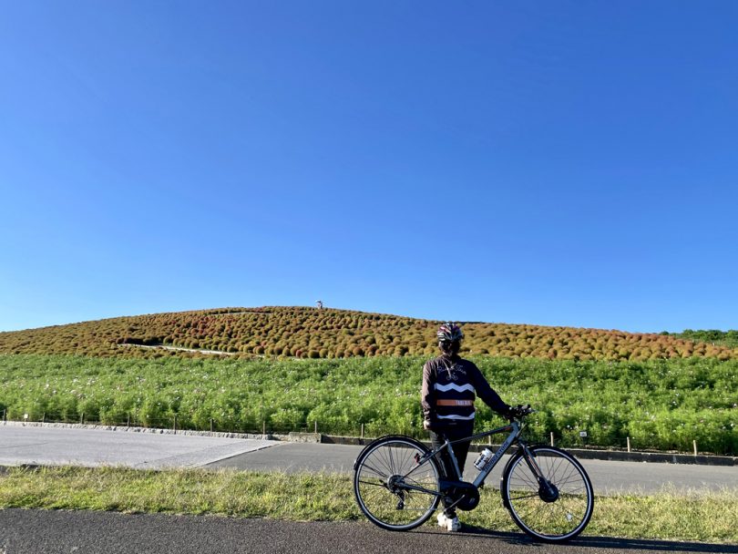
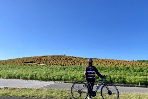
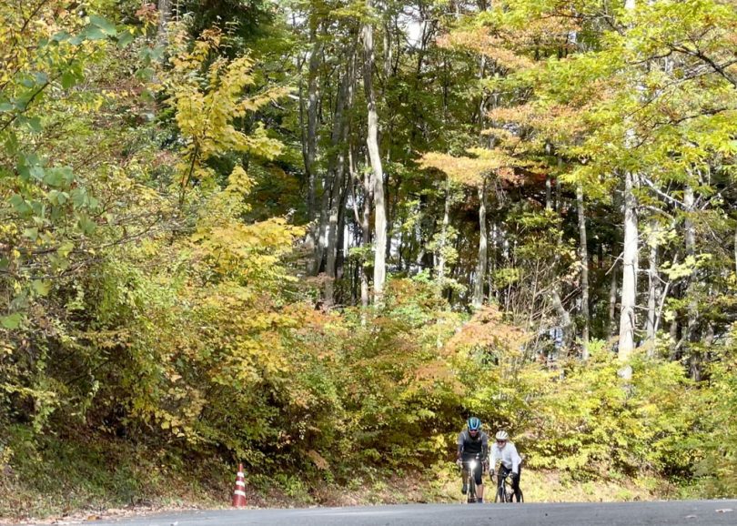
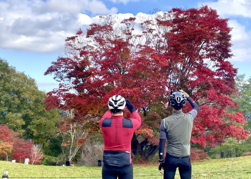
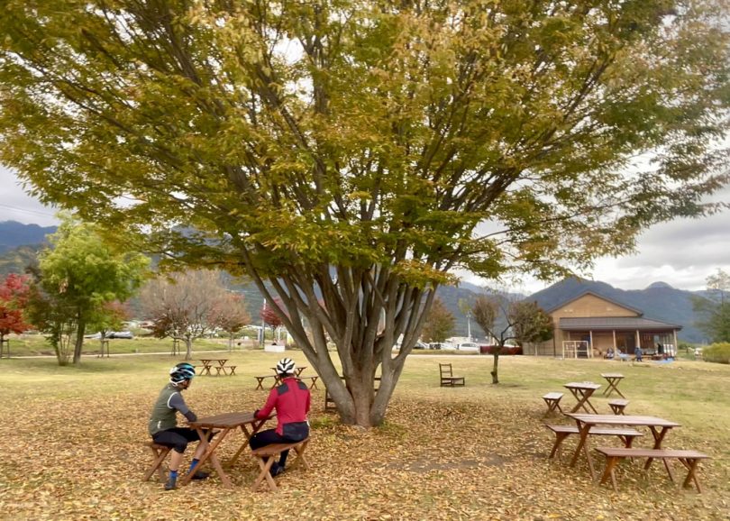
Hill Climb -Great Maple Tree of Seven Colors
After replenishing energy with a delicious lunch, we will go on a 6km hill climb.
Up to this point, the course is the same for both the 140km and 100km routes, but from here, 100km route (for beginners and intermediate) takes a shortcut course that does not go up the hill but goes directly south.
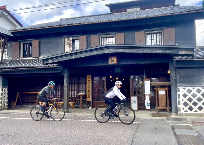
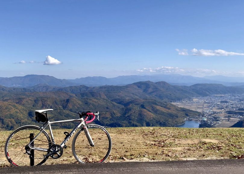
From “Shio-no-michi Chojiya,” it is approximately 4km to Aikawa Observatory.
After passing through the tunnel, turn right immediately, and climb uphill at a rate of about 6% until you reach “Chu (Middle-size) Kaede”.
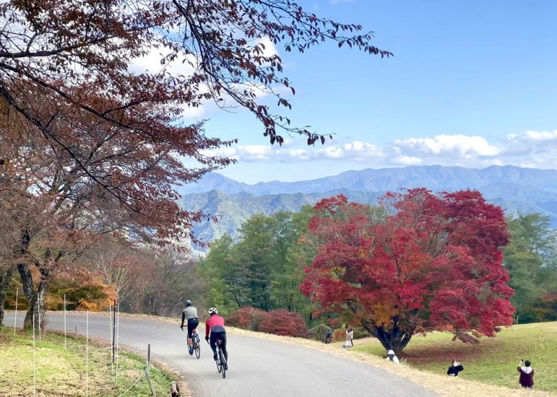
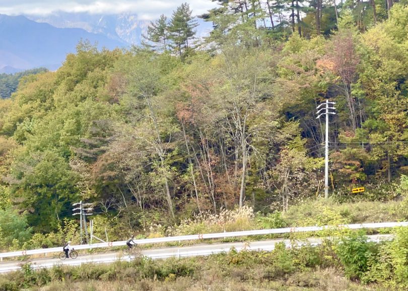
After passing the slope, gently descend 5km to Omine Plateau, 1000m above sea level, and the “Great Maple Tree of Seven Colors,” which is said to be a miraculous tree more than 250years old.
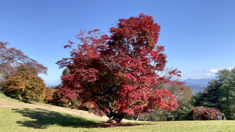
In autumn, the leaves turn from green to orange to red, and the area is decorated with maple trees of seven different colors.
Depending on the time of year you visit, you can see the seven-colored maple, the crimson-colored maple, and other various expressions.
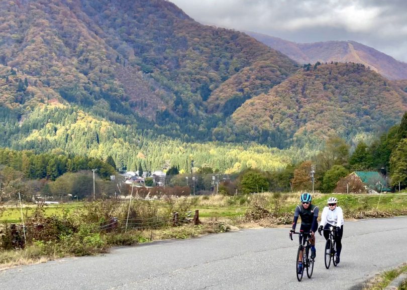
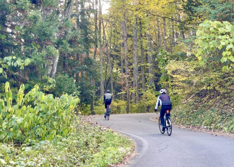
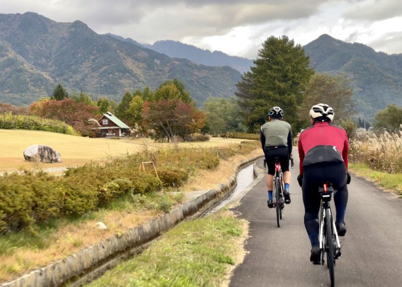
Cycling along Takase River
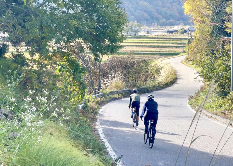
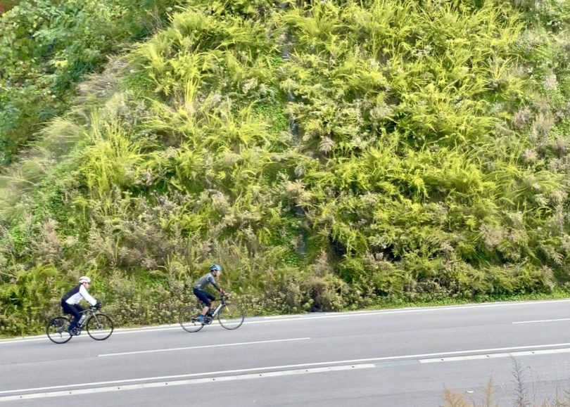
From the seven colored maple trees, slowly descend the slope for about 6km to Takase River. The route joins the 100km route again.
From here, the 5.5-km road along Takase River is easy to ride and offers a pleasant cycling experience different from those by the lake or in the mountains.
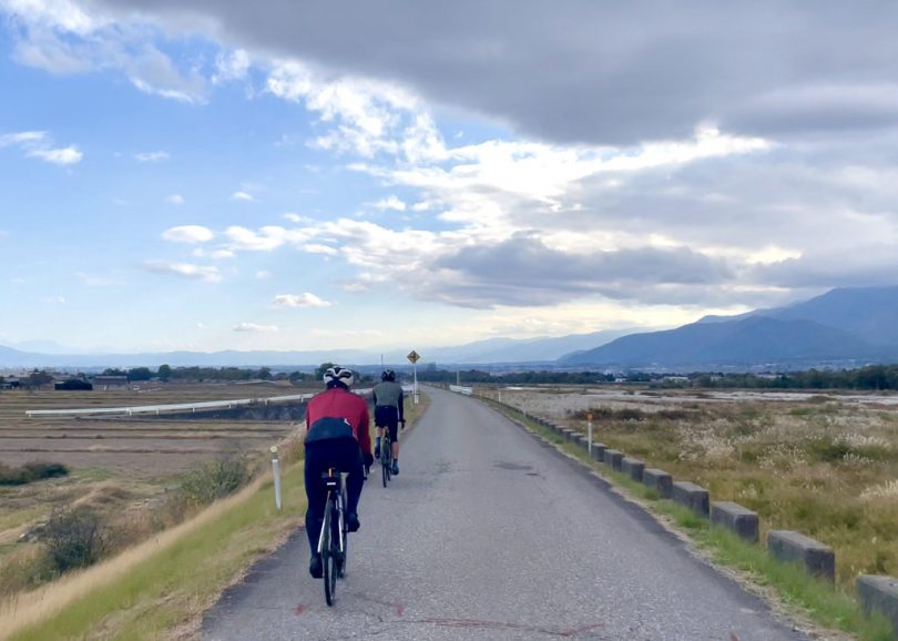
Once on Prefectural Route329, cross Takase Bridge to the west and take Mt.Ariake Road to Azumino Sketch Road.
The goal is Azumino Chihiro Park
If you head north on Azumino Sketch Road for about 4.5km, you will come to Azumino Chihiro Park.
Ride along the riverside course on the east side of the park, and reach the goal from the north side of the park.
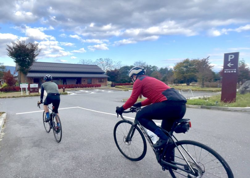
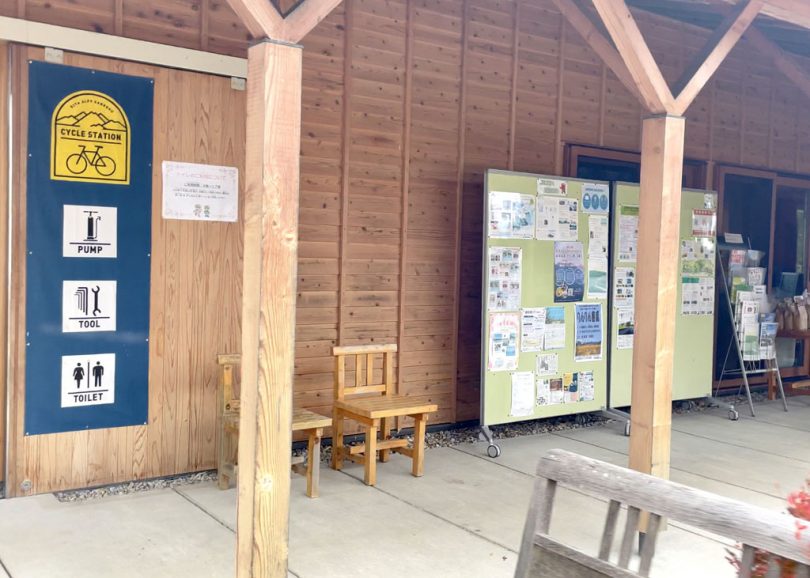
The park facilities are registered as a cycle station, and cycle racks are available in the parking lot.
After cycling about 66km, we took a rest in the park. Then, it is time for sweets and coffee at the agricultural produce stand across from the park.

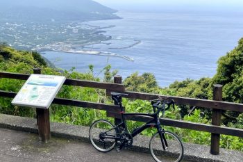
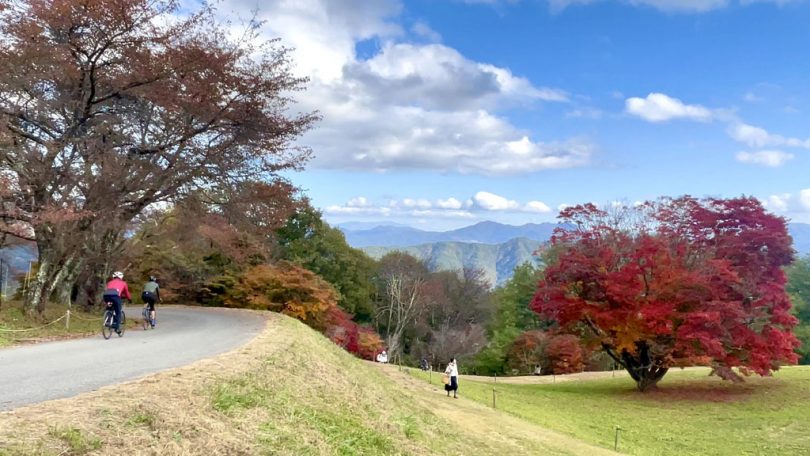
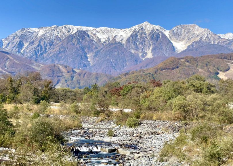
Course beyond: views of Mt.Koguma, Lake Kizaki, and Hakuba Mountain Range
After crossing Renge Bridge, about 11km north of Azumino Chihiro Park, the route is divided into a 100km route that goes straight ahead (toward Lake Kizaki ) and a 140km route that goes left (toward Omachi Onsenkyo (hot spring village)).
The 140km route is a hill-climb course up Mt.Koguma, with a spectacular view from the Lake Kizaki Observation Area.
After descending the hill, the route joins the 100km route at the shore of Lake Kizaki.
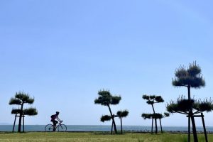
At Lake Kizaki, you can enjoy the beautiful scenery of the lake and the pier.
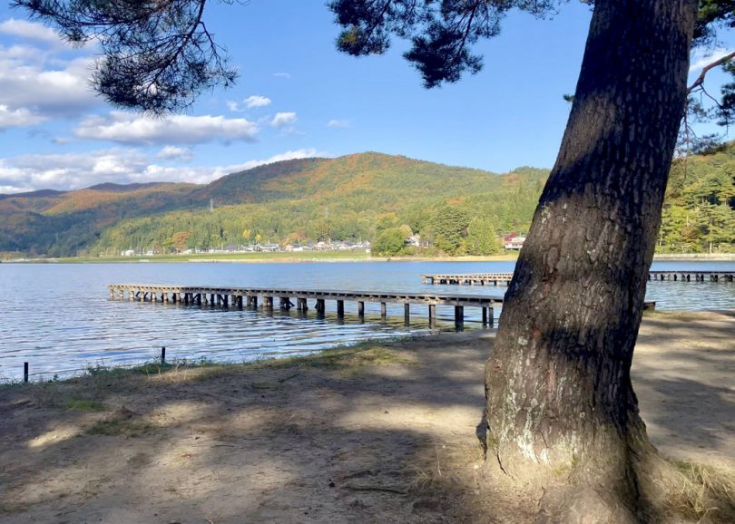
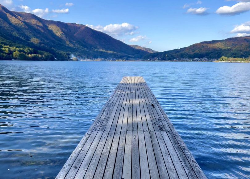
Ride to Hakuba Village and you will return to the course with its beautiful mountain ranges.
Course Introduction
Distance: 66 km Elevation gained: 820 m
▼100km route: Enjoy the foot of the North Alps at a leisurely pace (Beginner~intermediate)
https://tabi-rin.com/archives/course/83073
▼140km route: Dynamic ride around the foot of the North Alps (Advanced)
https://tabi-rin.com/archives/course/83074
▼The Map of Northern Alps Area Recommended Bicycle Route
https://www.pref.nagano.lg.jp/kitachi/kitachi-kikaku/kannai/cycling.html
▼Otari Village Tourism site
https://visitotari.com/
▼Hakuba Village Tourism site
https://www.vill.hakuba.nagano.jp/english/
▼Omachi City Tourism site
https://www.kanko-omachi.gr.jp/en/
▼Ikeda Town Tourism site
https://ikeda-kanko.jp/
▼Matsukawa Village Tourism site
https://www.matsukawamura.com/
Summary
TheAttractiveness of the Northern Alps
The scenery of the Northern Alps changes very much with the seasons. In spring, the cherry blossoms bloom about a month later than in central Tokyo, and in summer, the area is surrounded by pleasant breezes and greenery. In autumn, the leaves turn red about a month earlier than in central Tokyo, and in winter, visitors can enjoy beautiful snowy scenery.
From Tokyo, the shortest access time from Shinjuku to Minami-Otari is about 4hours on the limited express Azusa with no transfers. From Nagoya, the shortest access time is about 4hours by transferring from the limited express Shinano to the limited expresses Azusa.
It is attractive to be able to enjoy seasonal scenery that is completely different from that of the city center within a 4-hour access time.
Attractiveness of Northern Alps Area Recommended Bicycle Route
Riding in the Northern Alps, with its high elevation, may give an image of “hills are tough”. However, the 100km route, which rides mainly along the river, has no steep hills, so even those who are not good at hills can enjoy it.
The 140km route will satisfy even those who like hills.
It is an attractive course where you can enjoy beautiful mountain ranges, clear streams, rural scenery, scenery along the railroad, and lakeside scenery.
Both courses can be completed in one day for advanced riders, but we recommend staying at least one night.
At night, you can enjoy delicious meals, drinks, and hot springs. The star-filled sky is also lovely.
If you are able to work remotely, it is highly recommended to stay for an extended period of time on a ”workcation” and enjoy the Northern Alps.
Advertiser: Nagano Prefecture North Alps Regional Development Bureau
Written by HANADA (TABIRIN Editorial Staff)