This is a summer resort highland cycling course that takes a “leisurely hill climb” from the high altitude and cool Shirakaba Lake to the 2093-meter-high Ogawara Pass and then back around to Lake Shirakaba, taking it easy during the hot summer.
Contents
- Free parking at Lake Shirakaba
- Venus Line to Lake Megami
- Cycling along Tateshina Skyline
- Arrival at Ogawara Pass at an elevation of 2,093m
- It was clearing up, so we went to Megami Terrace 1830
- Delicious Soba Noodles at Lake Megami
- View from Sunset Hill Park
- Return to Lake Shirakaba and go to the hot spring
- Course Introduction
- Summary
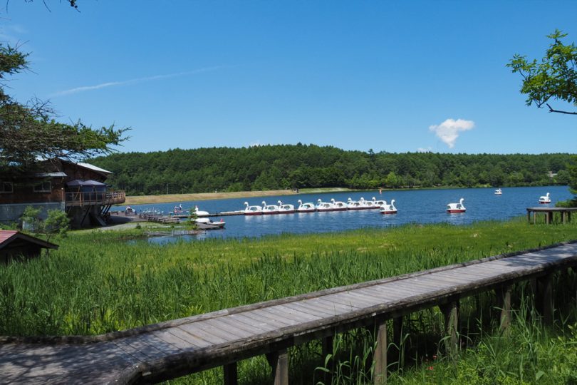
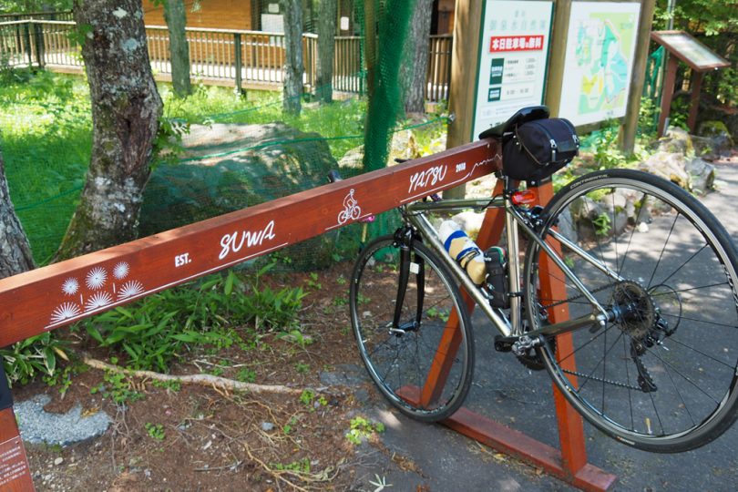
Free parking at Lake Shirakaba
Parking for sightseeing around Lake Shirakaba
First, you will drive to the Shirakaba lakeside.
The problem is whether there is a parking lot nearby when you go on an expedition, but there are several free parking lots for sightseeing by Shirakaba lakeside. This time will start from Minami Shirakaba-ko (South Lake Shirakaba) parking lot.
It is important to note that there are public restrooms and day spa facilities nearby.
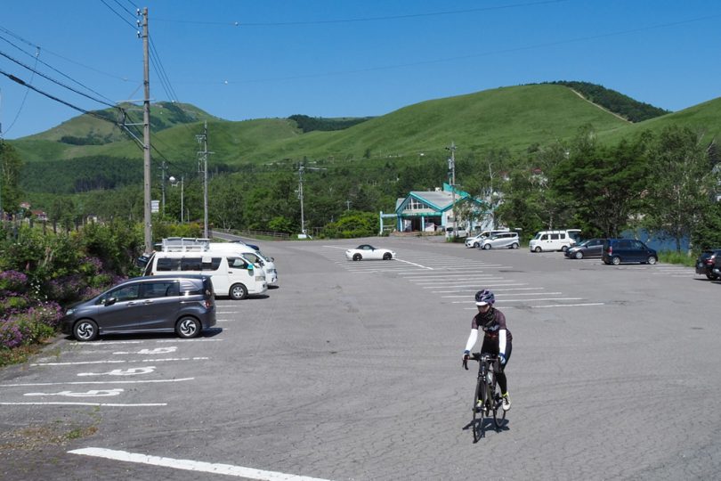
It was hot and humid from the morning in Kanto area, where my home is located, but as expected around Lake Shirakaba at an altitude of 1,400m, the temperature is about 10 degrees Celsius lower than in Kanto, making it comfortable.
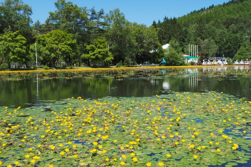
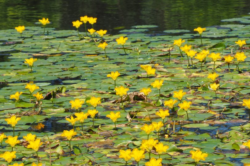
Yellow flowers at Lake Minireman
When we arrived at Minireman Lake, located behind Lawson (a convenience store), halfway around the lakeside, we found yellow flowers blooming on the lake surface. The yellow flowers with floating leaves, similar to water lilies, are the near threatened species, asaza.
They are managed by the nearby Ikenotaira Hotel & Resorts.
It seems to bloom from summer to autumn, so it can be enjoyed for a long time.
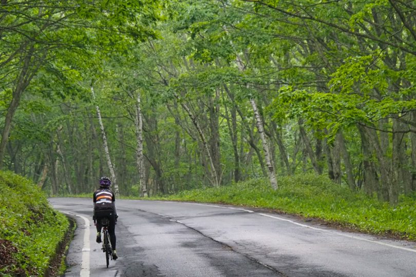
Venus Line to Lake Megami
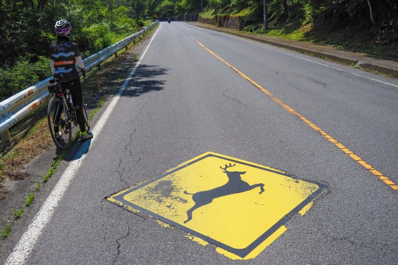
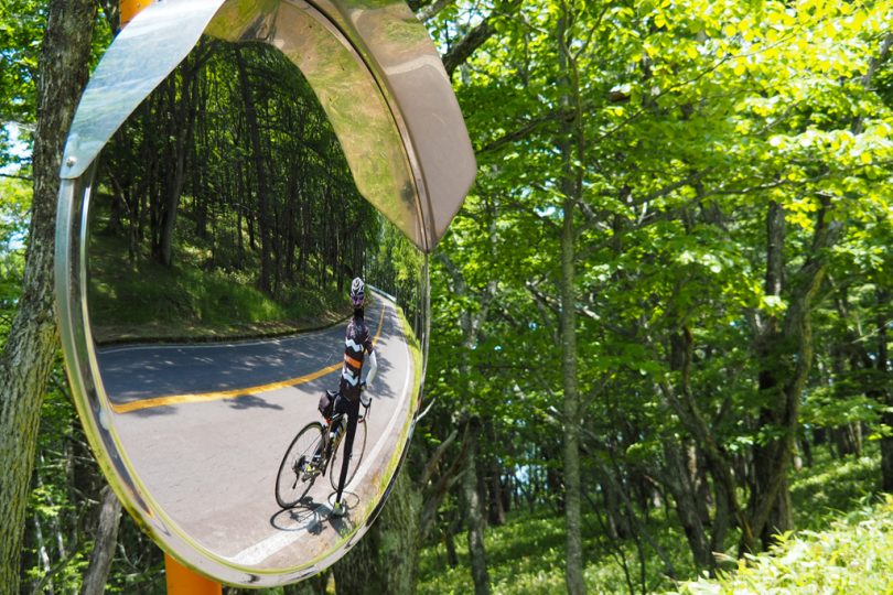
Enter Venus Line from the road in front of Lawson and begin the uphill climb. The first half of the slope is a bit steep, so climb with gusto.
You will see many “Beware of Deer” road signs along the way. This is the first time we have seen such signs painted on the road surface.
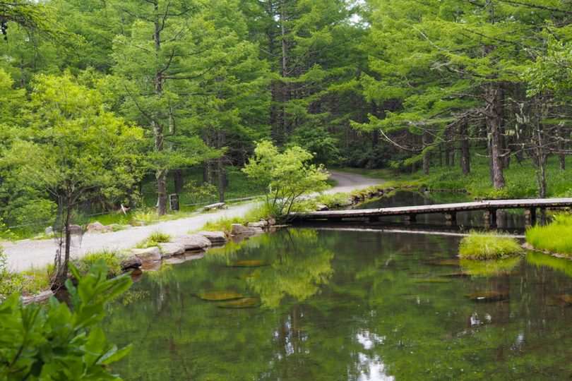
Take a break at Lake Megami
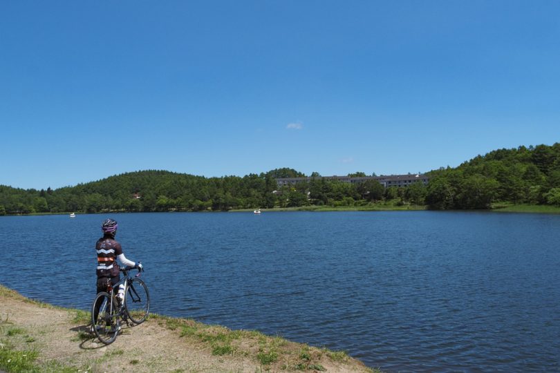
Turn left on Lake Megami Road before Tateshina Farm intersection to reach Lake Megami.
The wind is even cooler and more comfortable when you come to Lake Megami at an altitude of about 1,500m.
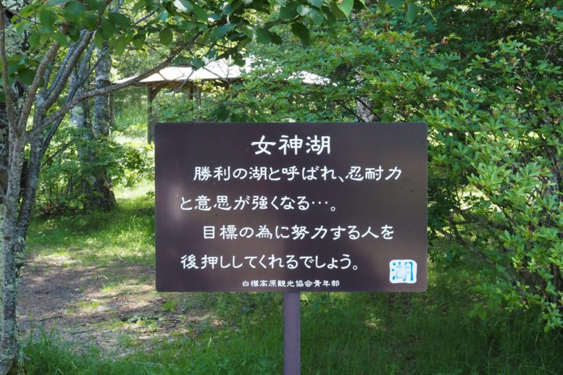
We found an interesting sign near the Lake Megami Center.
“Lake Megami is called the lake of victory and makes you stronger in perseverance and will…” (Megami means a female god in Japanese.)
Isn’t this the place to come if you are in a bike race or something?
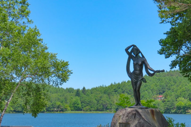
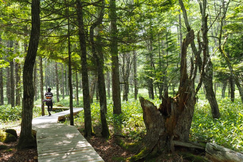
Behind Lake Megami is Lake Megami Nature Park, and a stroll along the boardwalk is recommended.
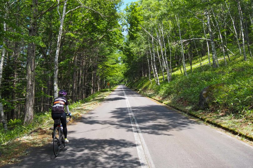
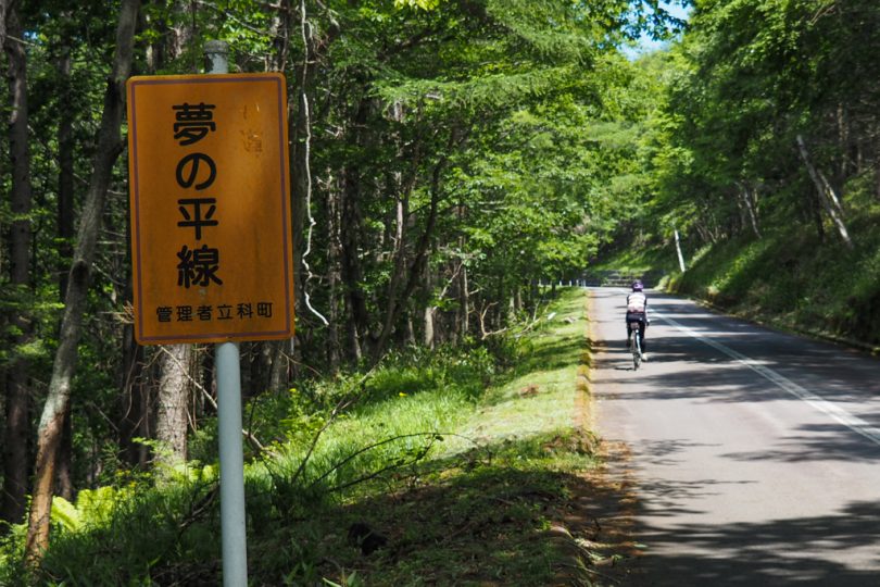
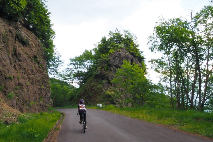
Cycling along Tateshina Skyline
Passing in front of Tateshina Farm gondola lift station, drive along Tateshina Skyline.
There are fewer cars than on Venus Line, and the slope is gentle and easy to drive.
Yume-no-daira Skyline, which used to be a toll road, is now free of charge and is called Rindo Yume-no-daira Line.
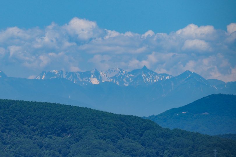
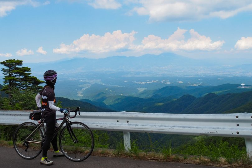
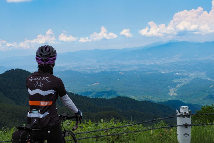
A little further up the road, Lake Megami, where we had just been, comes into view below us. Further in the distance, Hotaka mountain range of Northern Alps can be seen. The sharply pointed mountain is Mt.Yarigatake.
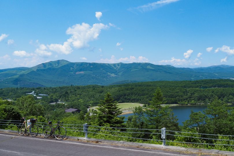
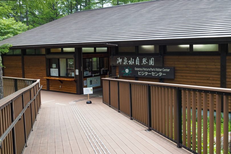
Take a break at Gosensui Nature Park Visitor Center
After climbing up for a while, you will see the parking lot of Gosensui Nature Park.
If you take a gondola lift of Tateshina Farm near Lake Megami, you will be able to reach Megami terrace at the back of the park. The gondola ride is said to take about 5 minutes, but it took me quite a while by bicycle.
There are restrooms and vending machines at the visitor center, so take a short break.
It is 8km from here to Ogawara Pass.
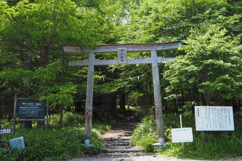
Tateshina Shrine Okumiya Ichinotorii (first shrine gate) is located at the place where we climbed back up after descending a little from Gosensui Nature Park.
It is also an entrance for Mt. Tateshina for hikers, and there were many cars parked in the parking lot. After passing the torii gate, it is a gentle descent of about 2km.
Further to the right of the Y-shaped road, the road becomes narrower and rougher, so be careful when driving.
The visibility is gradually opening up.
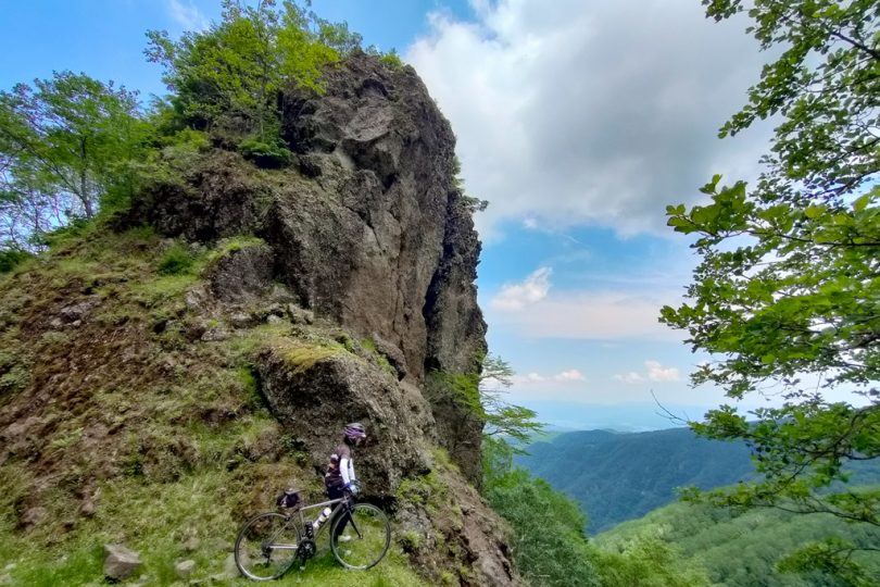
Tokin-no-Iwa and a Cut-through
Following an unpopular path, we came to a place called “Tokin-no-Iwa” (Rock of Tokin).
Tokin is a hat worn by mountain priests and tengu (long-nosed goblins).
Although the whole area is obscured by trees, it is probably a rocky hill shaped like Tokin.
It takes about 5m to climb up the mountain, but it is not safe to do so in bicycle shoes.
We would like to climb it again if we have a chance.
Instead…or rather, we were satisfied because there was a fine rock cutout at a place a little further on.
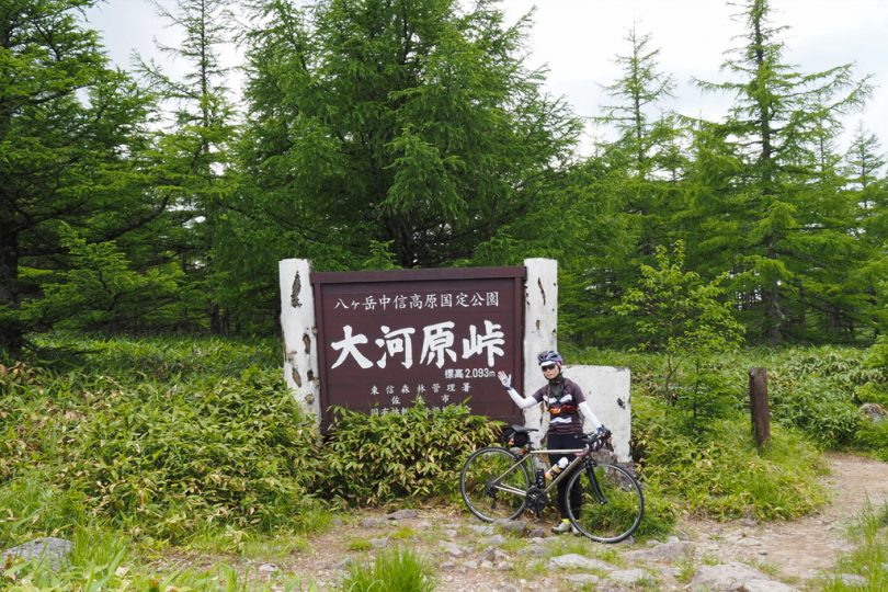
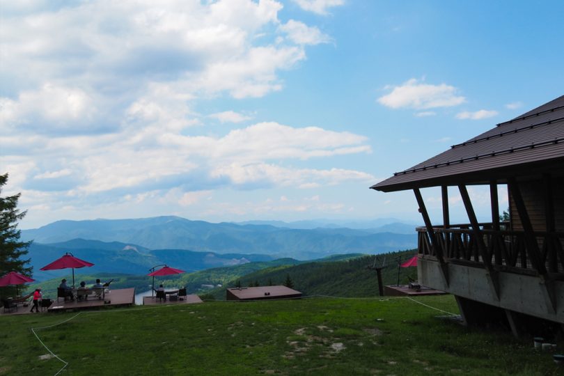
Arrival at Ogawara Pass at an elevation of 2,093m
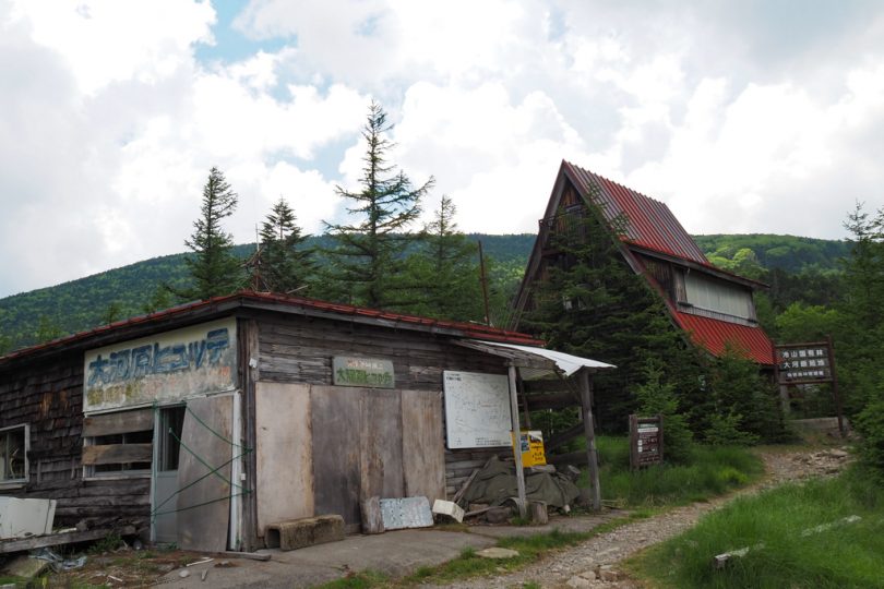
A red-roofed building can be seen from the direction of travel to the far left ahead. That building is Ogawara Pass. It may seem far away, but the distance is almost there.
When you look to the side before the pass, you will see a huge parabolic antenna, which is a deep space research antenna of JAXA. If you ride Tateshina Skyline from Saku City, you will pass close by.
The red roof seen from the distance was a mountain hut called “Ogawara Hutte.”
It seems to be used by people who climb mountains from here.
There is a splendid sign for the mountain pass by the parking lot, so let’s take a picture!
Black clouds were coming up, so we made a hasty U-turn.
If you continue onward from here, you can pass through to Saku City, but this time you will make a U-turn here.
We will return to Gosensui Nature Park where we took a break earlier.
Originally, we planned to return to Gosensui Nature Park, take a walk in the park, and go to 1830 Megami Terrace, but we were troubled by the heavy rain that started to fall on the way.
It was clearing up, so we went to Megami Terrace 1830
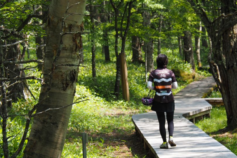
When we arrived at the visitor center, the rain had stopped and the skies had cleared. We decided to leave our bicycles on the bike rack and enter the park to explore while we still can. Admission is 600 yen for adults.
From the visitor center, we walked along the wooden path in Fushimizu Marsh Vegetation Area.
Walking among the tall larch trees, you will hear the cuckoo calls.
It is a 10-minute walk to Megami Terrace 1830, but you should wear comfortable walking shoes as you will be walking on wooden and gravel paths.
We can never be too careful because of sudden thunderstorms this time of year.
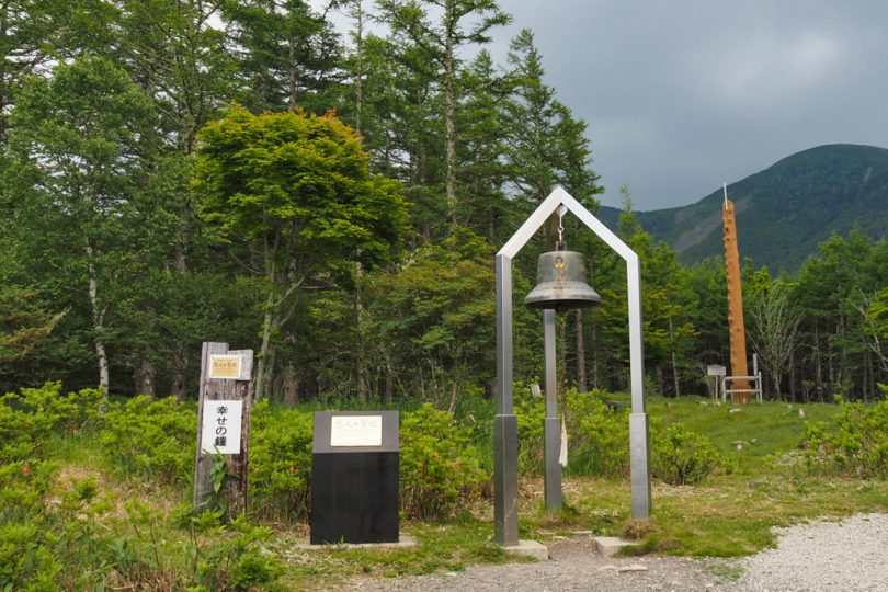
Terrace overlooking Lake Megami
Located at the summit station of the gondola lift, Megami Terrace 1830 has chairs, tables, and hammocks that can be used freely. You can bring bread or other food and eat it here.
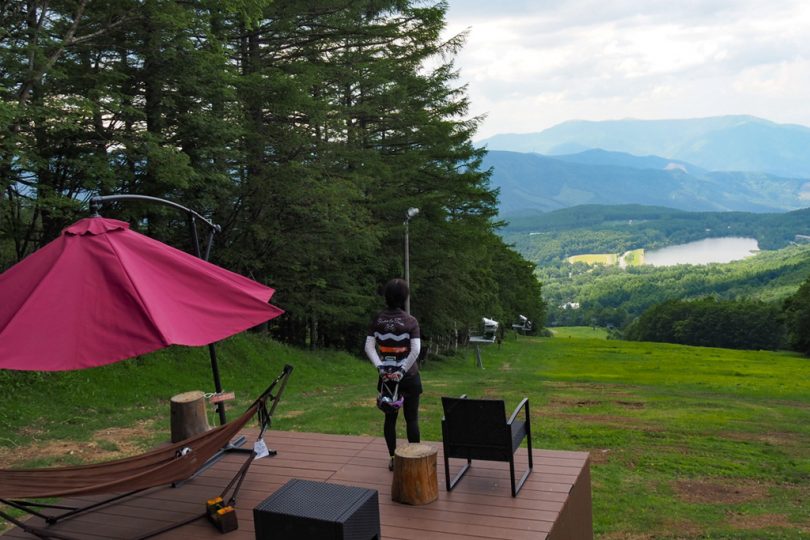
Nearby are “Bell of Happiness,” a sacred place for lovers, and “Onbashira,” a pillar used in Onbashira Festival.
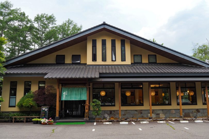
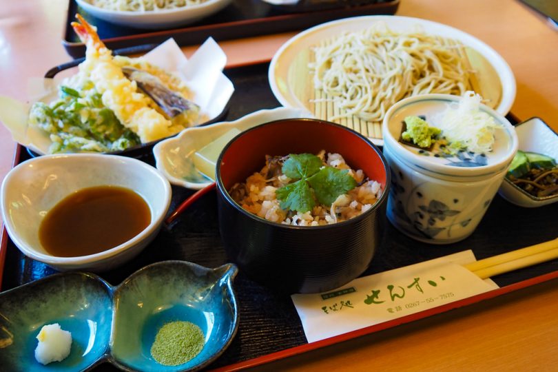
Delicious Soba Noodles at Lake Megami
After returning to the visitor center and descending to Lake Megami, we havd a late lunch.
We havd “Sensui Set” at “Soba Restaurant Sensui” near Lake Megami. They use 100% buckwheat flour produced in Nagano Prefecture.
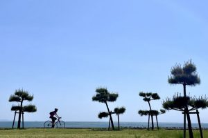
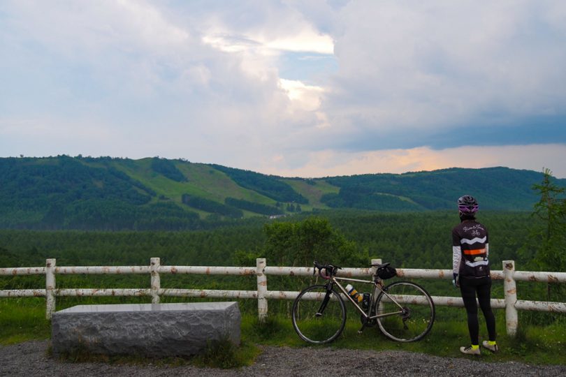
View from Sunset Hill Park
We headed along Venus Line to Sunset Hill Park.
At this time, it was raining on and off, and it was dimly lit.
After a curve, you will see a place with a clear view. This is Sunset Hill Park.
You can see as far as the mountains in the distance, but unfortunately it is cloudy… There is no sunset at this time, but it is a good point to take a break.
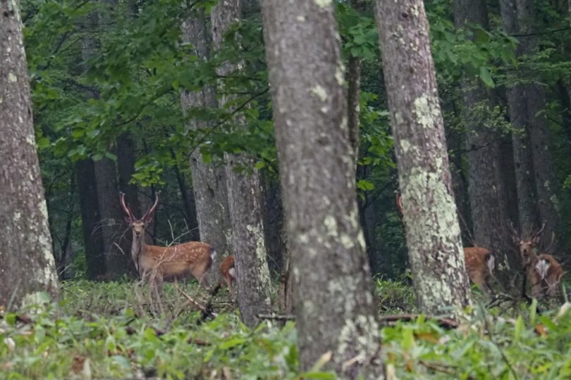
Encounter a herd of deer
Turn right when you reach the T-shaped junction. It is a nice straight downhill.
On the way, we spotted a herd of deer deep in the woods. You can see that the deer with magnificent antlers are watching us closely.
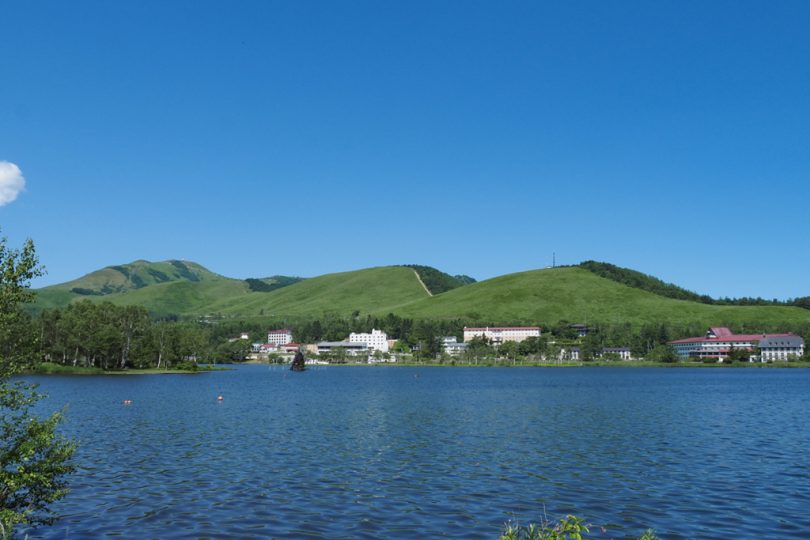
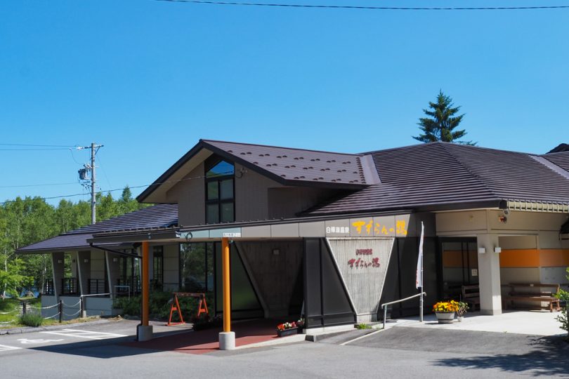
Return to Lake Shirakaba and go to the hot spring
Going down the hill, we arrived at Lake Shirakaba. After returning to your car, you can sweat it out at “Lake Shirakaba Onsen Suzurran-no-Yu” right next to the lake.
※Print out the coupon on Chino City website for a 100 yen discount.
Course Introduction
▼Lake Shirakaba Onsen Suzuran-no-Yu
https://www.city.chino.lg.jp/soshiki/kankou/276.html
Summary
If you take Tateshina Skyline from Saku City side to Ogawara Pass, it is difficult because of the high elevation, but if you start at a higher elevation like this, you can enjoy cycling to an even higher elevation place. This is especially recommended in summer when it is hot on the plains.
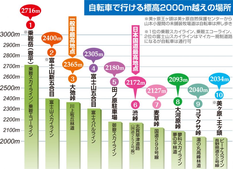
We have prepared a map of places over 2,000m in elevation that can be reached by bicycle (in Japanese).
Ogawara Pass is the 8th place based on our map. If you are interested, why don’t you plan to cycle to a place over 2000m high this summer?