Kushiro Airport, a hub airport in eastern Hokkaido, is surrounded by nature. This 3-day cycling report introduces the 308km Akan-Mashu–Kushiro Marsh Route, which starts and finishes at Kushiro Airport.
On the second day, we report on a tour of the mysterious caldera of Lake Mashu and Lake Kussharo.
Contents
- About Akan-Mashu-Kushiro Marsh Route
- Shibecha Town
- Roadside Rest Area Mashu Onsen
- Lake Mashu (The first and the third observatory)
- A Secret Spot, Behind Mt.Iō
- Kawayu-Onsen Station
- Mashu Soba Noodle Doraku
- Mt.Iō
- Kawayu Onsen
- Sunayu and Lake Kussharo
- Roadside Rest Area Gurutto Panorama Bihorotoge
- Goal at Lake Mashu Ice Cream!
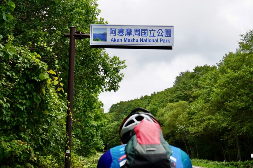
About Akan-Mashu-Kushiro Marsh Route
Akan-Mashu-Kushiro Marsh Route is one of the wide-area cycling routes promoted by
Hokkaido Regional Development Bureau, Ministry of Land, Infrastructure, Transport and Tourism to allow cyclists to enjoy the attractions of various regions in the vast island of Hokkaido. With Kushiro Airport as a base, this route allows cyclists to enjoy the attractions of eastern Hokkaido, including the marsh panorama, caldera lakes, and meadows. This route is one of the model routes set by the government to promote cycle tourism.
https://cycle-hokkaido.jp/route_03
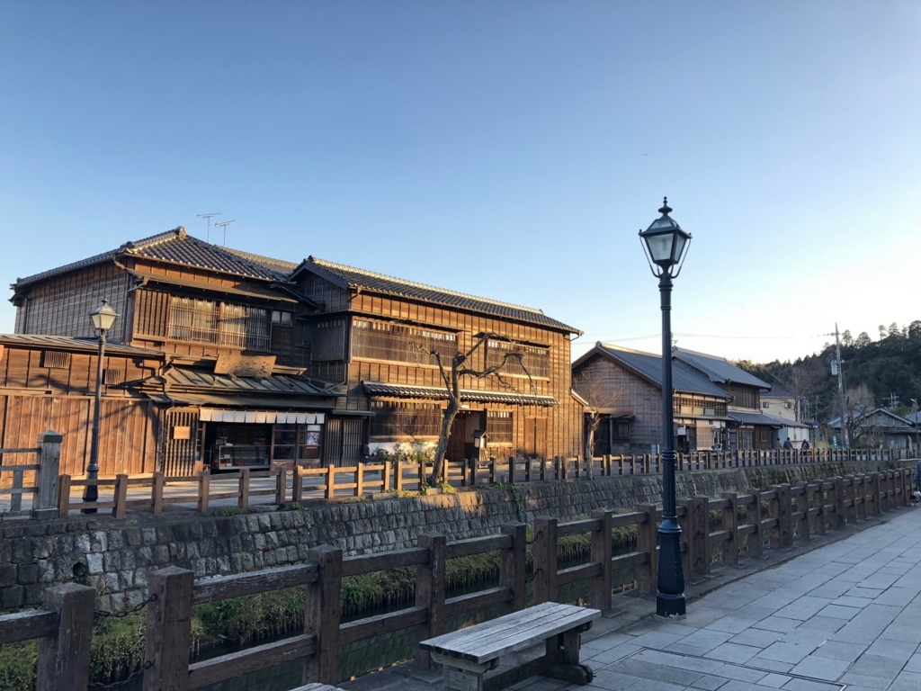
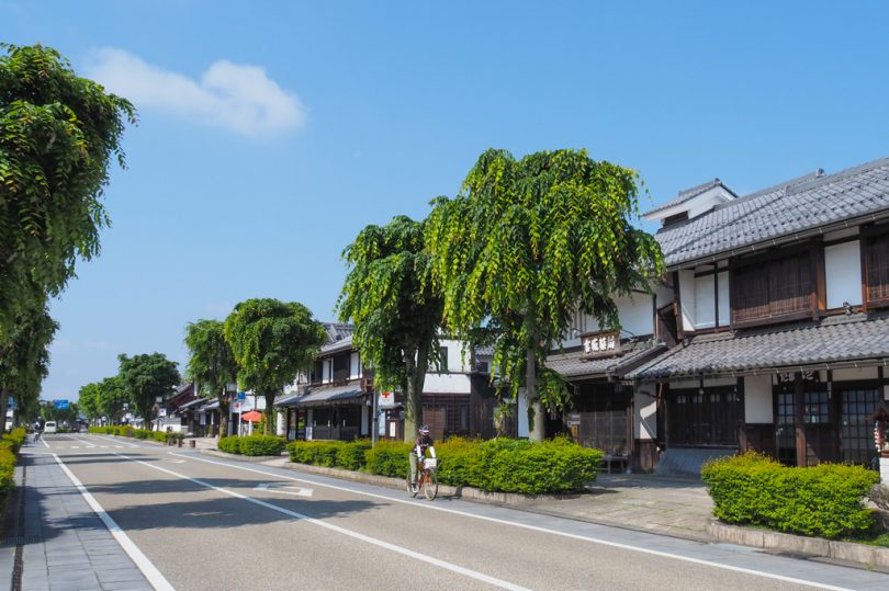
Shibecha Town
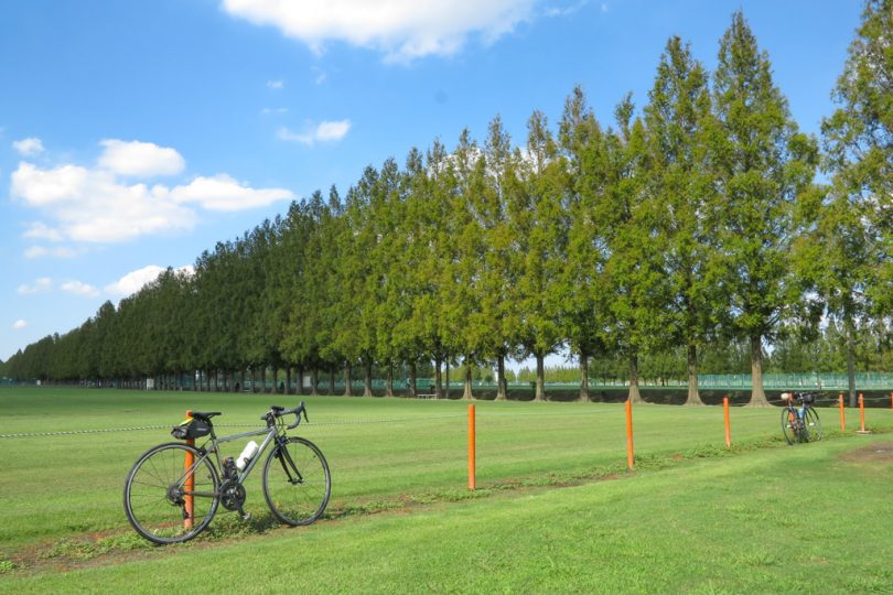
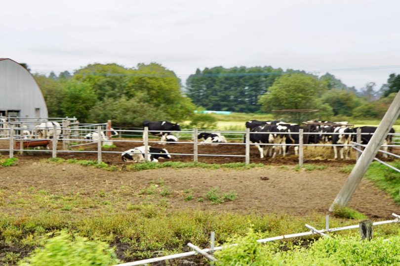
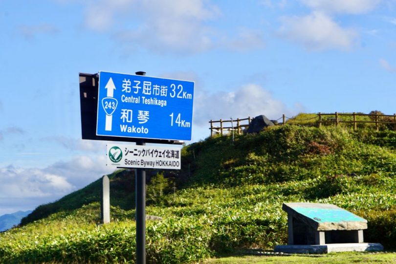
The second day of cycling starts in Shibecha Town. The first destination is the town of Teshikaga, 25km away.
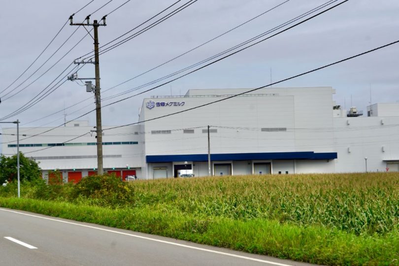
Along the way, you will see grazing cows and Isobunnai Plant of MEGMILK SNOW BRAND, which has been producing butter, cream, and skimmed milk powder since 1960. In 2021, a new building for butter production began full operation.
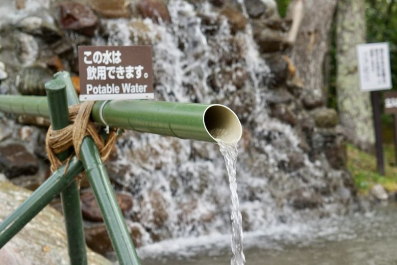
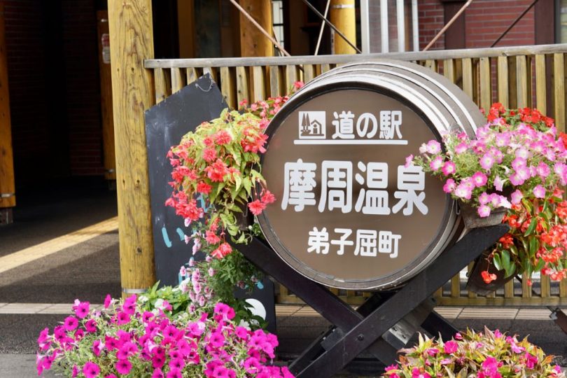
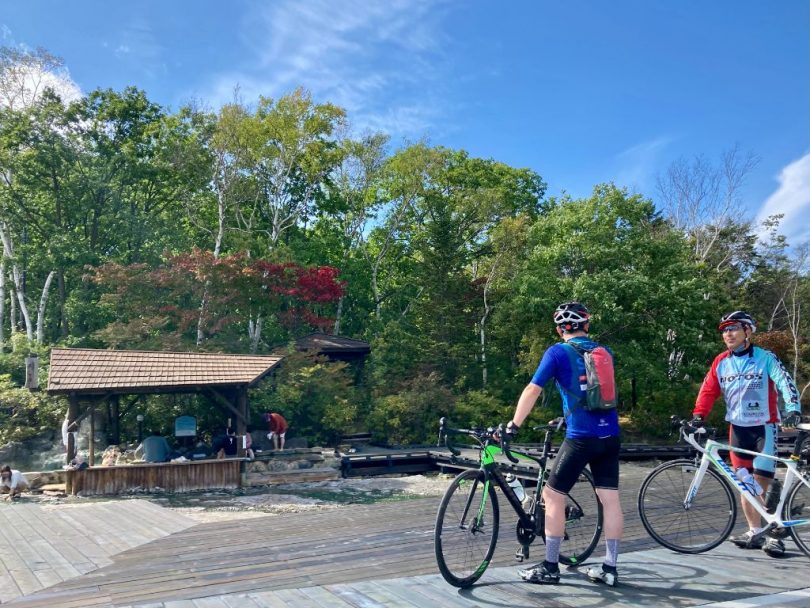
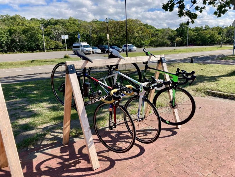
Roadside Rest Area Mashu Onsen
Roadside Rest Area Mashu Onsen (Onsen means hot spring) is located at the confluence of National Routes241, 243, and 391, which connect Lake Akan and Lake Mashu. The site has bike racks, benches, and drinkable spring water, which is a great service for cyclists. There is also a foot bath with free-flowing spring water.

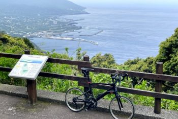
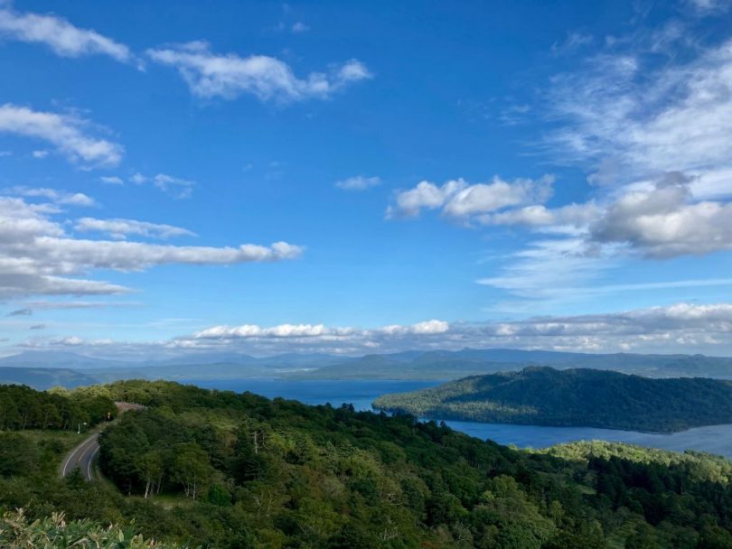
Lake Mashu (The first and the third observatory)
Departing from Roadside Rest Area Mashu Onsen, the next destination is Lake Mashu.
Lake Mashu is also known as “Foggy Lake Mashu” because of its frequent fog and lack of clear skies. Lake Mashu is actually located on top of a mountain. The distance is about 11km and the altitude is about 400 to 500m above sea level. Therefore, it is recommended to take necessary food and water in advance. Also, the observatory is often windy and cold, so be sure to take warm clothing.

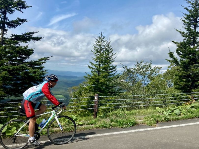
Once you make the climb, however, a spectacular view awaits you! First, here is the first observatory.

It was a cloudy day, but fortunately the fog had lifted. Lake Mashu is a caldera lake with a circumference of about 20km.
This is the third observatory, which is at a higher elevation. The only island floating in the middle of the lake is Kamuishu Island.


Below, you can look down on Mt.Iō, where we will be heading.
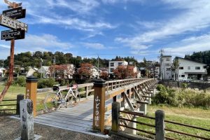
A Secret Spot, Behind Mt.Iō
The next goal is Mt. Iō, but we will stop at a little secret spot. From the third observatory, it is about 12km downhill toward Mt.Iō. There are a few hairpin corners, so please descend safely.
After descending the hill and entering the path before entering National Route391, you will arrive at a little-known photo spot with Mt.Iō in the background.

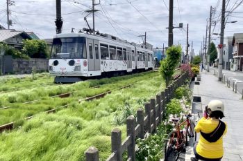
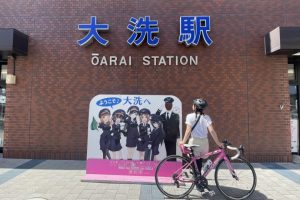
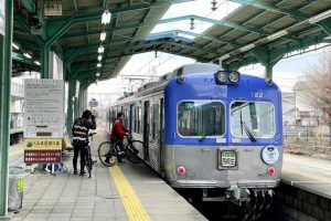
Kawayu-Onsen Station
The next stop was Kawayu-Onsen Station, the entrance station to Kawayu-Onsen, one of the stations of JR Hokkaido Senmo Railway, with a distinctive station building reminiscent of a highland cabin made of plenty of wood.
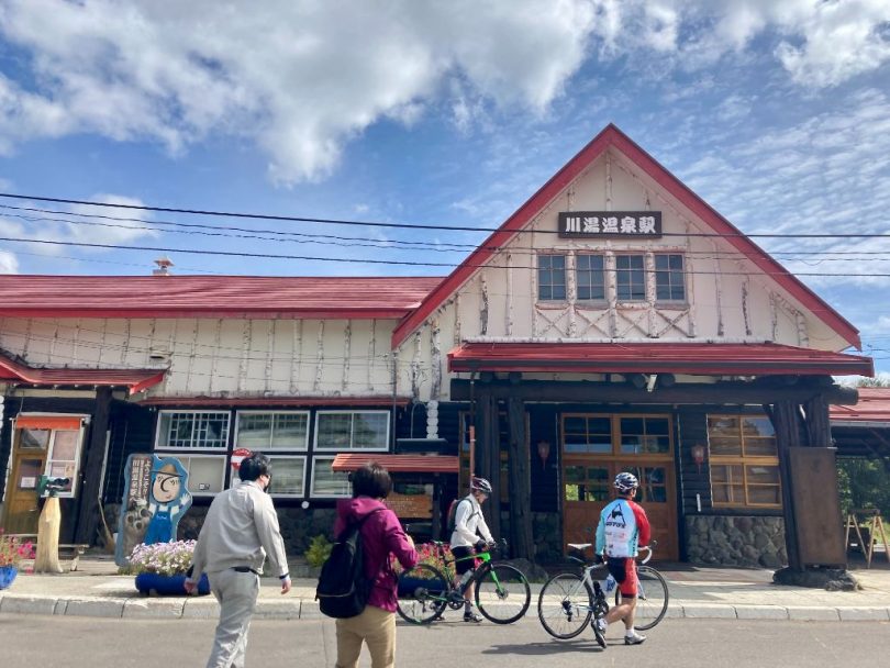
The current station building is a one-story wooden structure, the second generation of which was built in 1936. The station building used to have a guest room because Teshikaga Town used to have an imperial estate, and the space is now used as a restaurant.
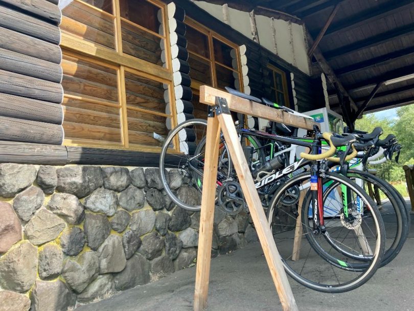
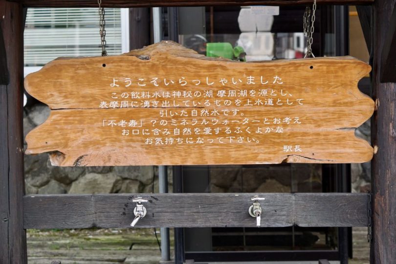
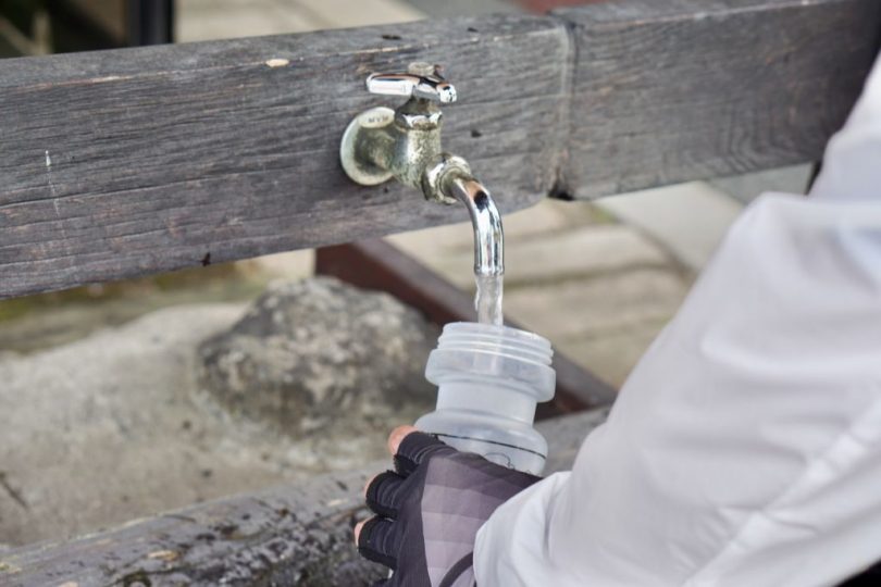
There were also bike racks. Here, visitors can also drink spring water from Lake Mashu.
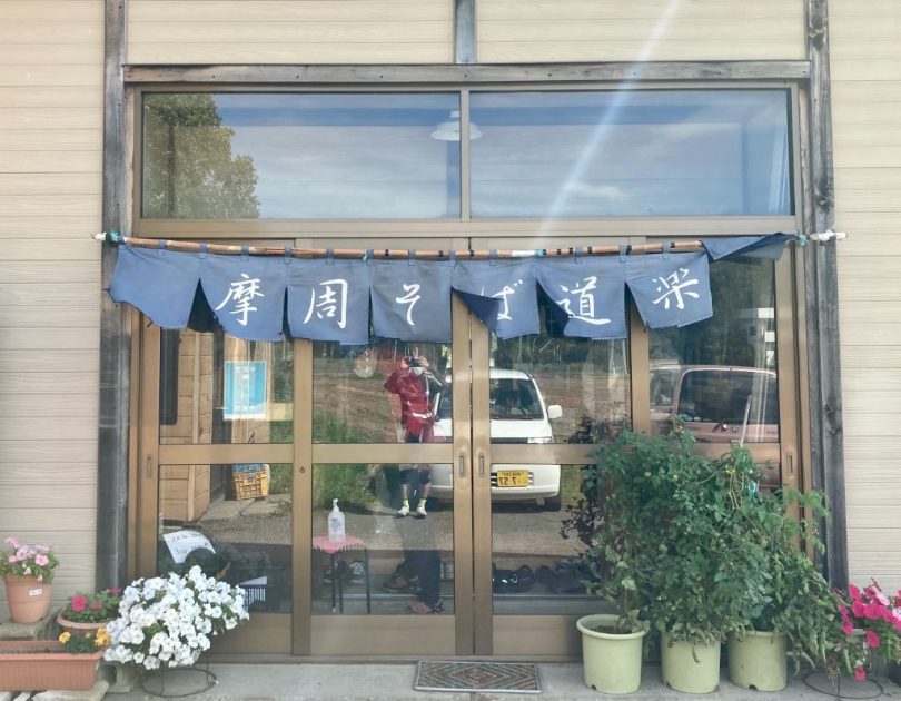
Mashu Soba Noodle Doraku
“Mashu Soba Noodle Doraku” is a very popular restaurant recommended for lunch. Mashu Soba Noodle Doraku is home-grown country buckwheat noodles and is said to be a mirage because of its small production.
It is a must-try dish!
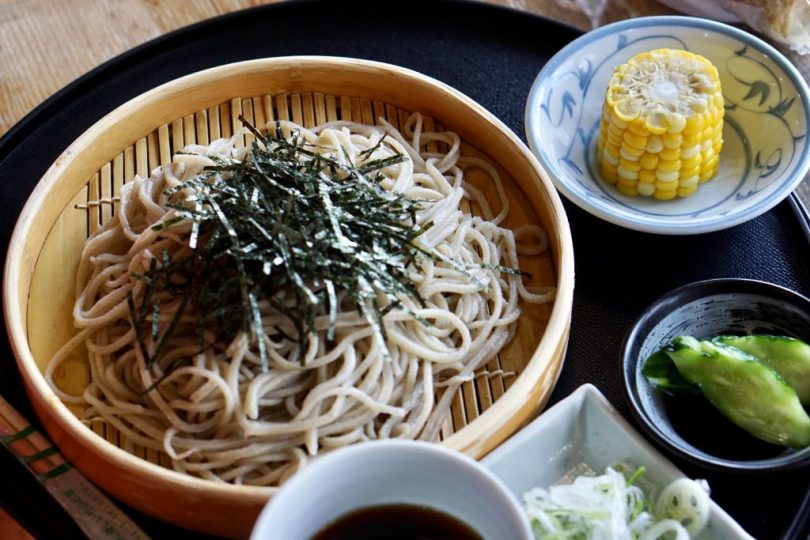
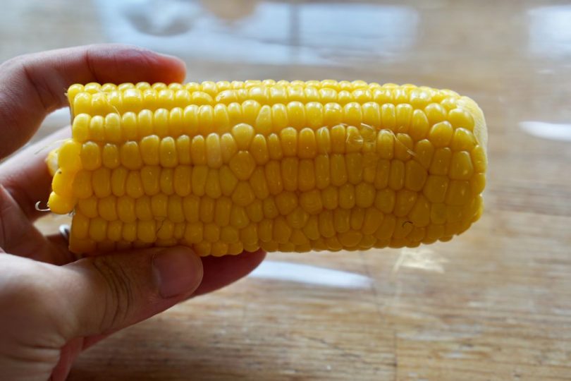
“Tokibi” (corn) is also excellent!
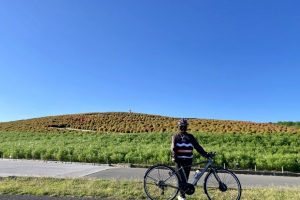
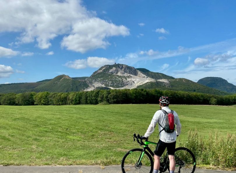
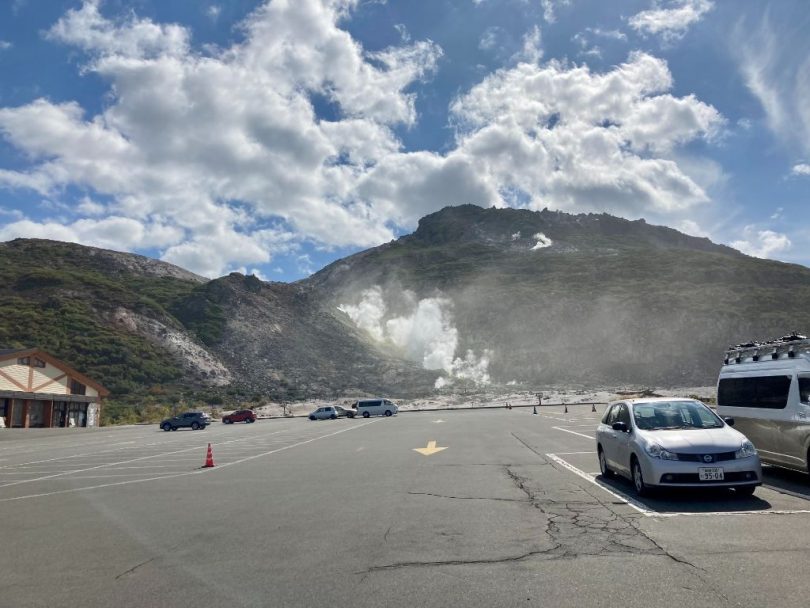
Mt.Iō
After filling our stomachs with lunch, we will continue on to Mt.Iō, known as “Atosa-nupuri” (naked mountain in Ainu language), it is an active volcano with an impressive reddish-brown surface that is billowing with smoke.
It was used as a sulfur mine from the early Meiji period (1868-1912) to the 1950s. At the foot of the volcano, a vast colony of “Ezoisotsutsuji” (a kind of azaleas) spreads out, beautifully decorating the early summer of Kawayu Onsen from June to July every year. The 2.5-km “Tsutsujigahara Nature Trail” has been developed from the town of Kawayu Onsen to Mt.Iō, and is recommended as a stroll.
Kawayu Onsen
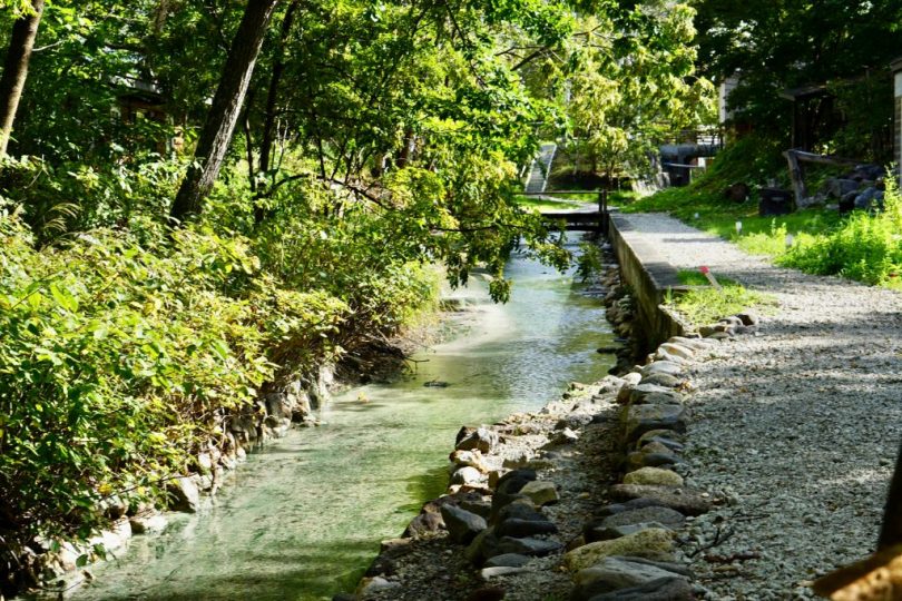
Kawayu Onsen, located not far from Mt.Iō, is one of the representative hot spring resorts in east Hokkaido. Mt.Iō is the source of the hot spring and it boasts an abundance of water. Kawayu Onsen has long been loved by many people for its strong acidic water, which is said to be effective and efficacious against all kinds of illnesses. There is also a foot bath in the town.
Also, the murmuring stream here is thought to be a river (fresh water), but in fact, it is also a hot spring. It is a surprise.

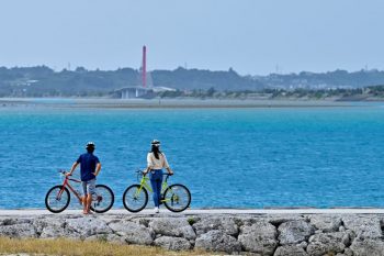
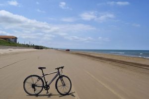
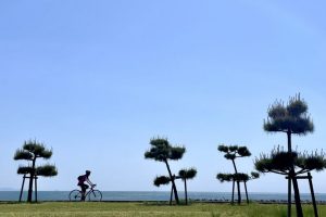
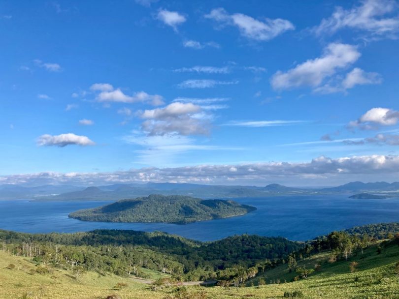
Sunayu and Lake Kussharo
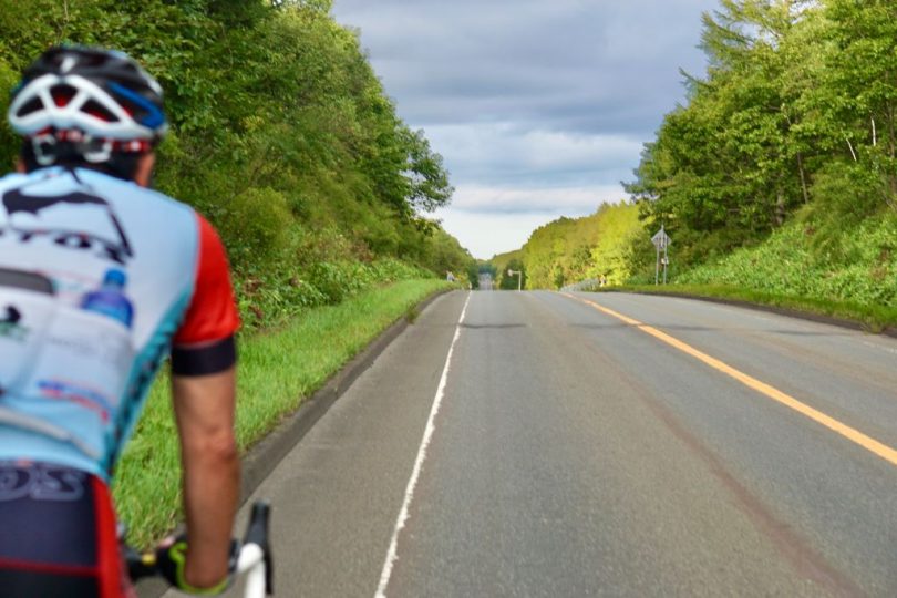
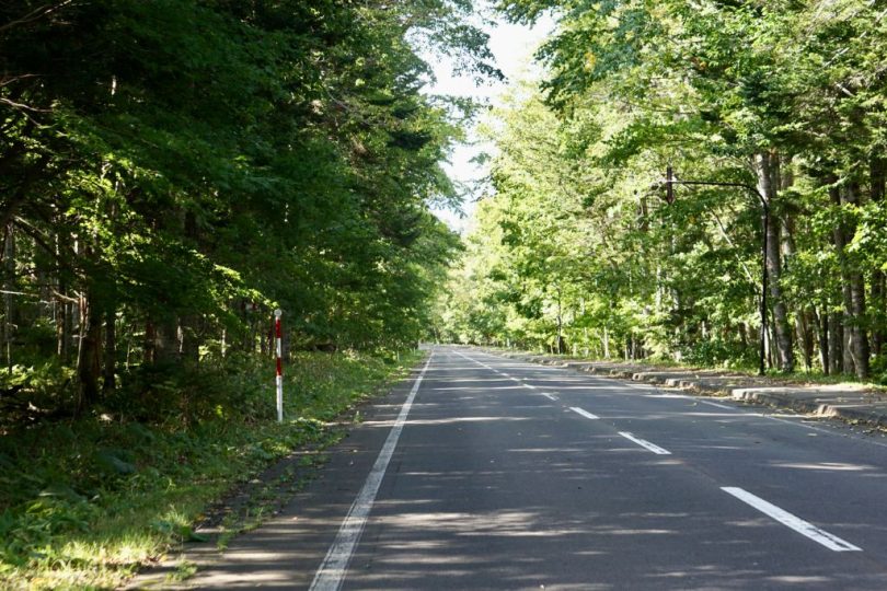
After leaving Kawayu Onsen, we will cycle through the trees for a while. From time to time, Lake Kussharo, Japan’s largest caldera lake, peeks out on your right.
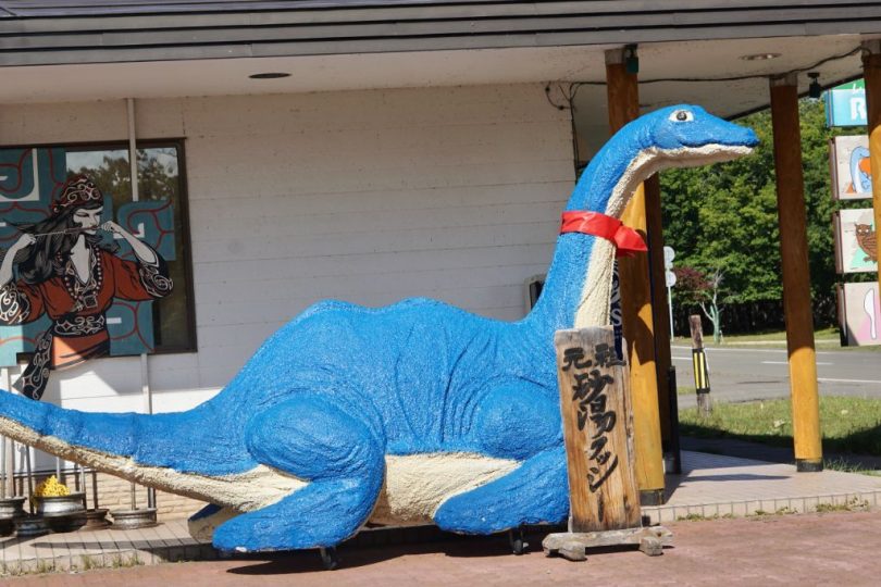
About 8km from Kawayu Onsen, you will arrive at “Sunayu” (sand hot spring) along Lake Kussharo. It is a rare place where hot spring water comes out when the beach is dug, and it is also a scenic spot by the lake. In winter, migratory whooper swans take a rest here, which is also a poetic sight.

Lake Kussharo, with a circumference of 57km, is the largest caldera lake in Japan, and is also famous for the unidentified creature “Kusshi”, which has been sighted since 1973.
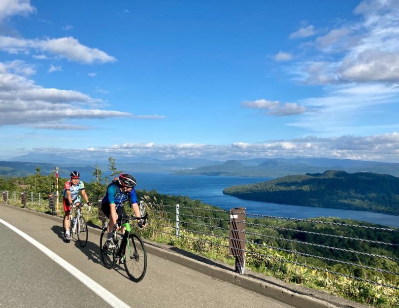
Roadside Rest Area Gurutto Panorama Bihorotoge
If you want to see the beauty of Lake Kussharo, you cannot avoid visiting Bihoro-toge (toge means pass). At the top of the pass is Roadside Rest Area Gurutto Panorama Bihorotoge, about 26km from Sunayu.
The distance of the pass from the Lake Kussharo side is about 11km and the elevation gained is about 370m. It is a gentler ascent than that of Lake Mashu.
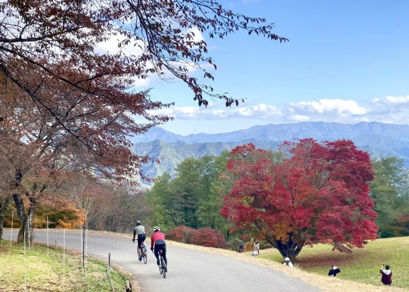
At first the road winds through the trees, but it gradually opens up, and in the latter half, the view overlooking Lake Kussharo is spectacular!
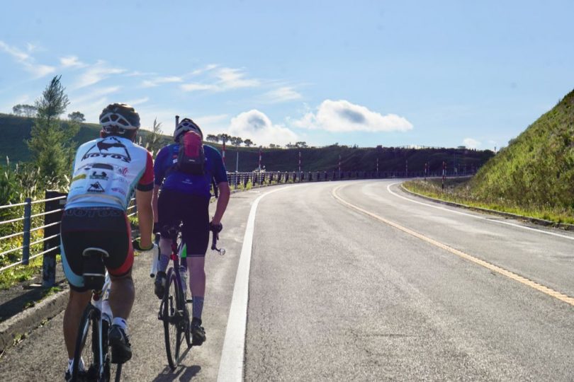
When you reach Bihoro Pass, don’t forget to take in the spectacular view from there!

Goal at Lake Mashu Ice Cream!
After enjoying Bihoro Pass, we will make a U-turn to Teshikaga Town, our lodging for the day. From here, the road back is downhill for about 32km.
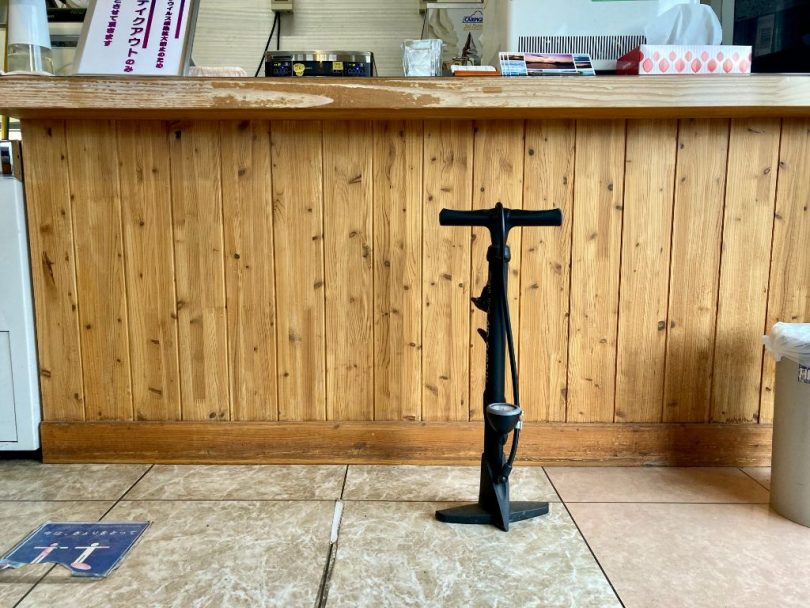
When you return to the foot of Lake Mashu, you will reach the goal at an ice cream shop, “Mashu-ko-no-aisu” (Lake Mashu Ice Cream)!
Here you will find not only bike racks, but also bike pumps available for rent in the store.
On this day, we enjoyed a delicious ice cream and stayed overnight at Mashu Onsen, “Hotel Mashu” in Teshikaga Town.

It was a very satisfying cycling tour to enjoy the mysterious caldera lake!
▼Roadside Rest Area Mashu Onsen
https://hokkaido-michinoeki.jp/en/28983/
▼Lake Mashu
http://masyuko.marimo.jp/en/
▼Mashu Soba Doraku
http://masyuko.marimo.jp/en/introduce/doraku/
▼Mt.Iō
http://masyuko.marimo.jp/en/introduce/mt_io/
▼Kawayu Onsen
https://en.visit-hokkaido.jp/?s=Kawayu%20Onsen
▼Sunayu
http://masyuko.marimo.jp/en/introduce/sunayu/
▼Roadside Rest Area Gurutto Panorama Bihorotoge
https://hokkaido-michinoeki.jp/en/29187/