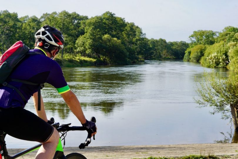
Tancho Kushiro Airport, a hub airport in eastern Hokkaido, is surrounded by nature. This 3-day cycling report introduces Akan-Mashu-Kushiro Marsh Route, a 308km route that starts and finishes at Kushiro Airport.
On Day 1, we will take you on a tour of Japan’s largest marsh.
Contents
About Akan-Mashu-Kushiro Marsh Route
Akan-Mashu-Kushiro Marsh Route is one of the wide-area cycling routes promoted by
Hokkaido Regional Development Bureau, Ministry of Land, Infrastructure, Transport and Tourism to allow cyclists to enjoy the attractions of various regions in the vast island of Hokkaido. With Kushiro Airport as a base, this route allows cyclists to enjoy the attractions of eastern Hokkaido, including the marsh panorama, caldera lakes, and meadows. This route is one of the model routes set by the government to promote cycle tourism.
https://cycle-hokkaido.jp/route_03
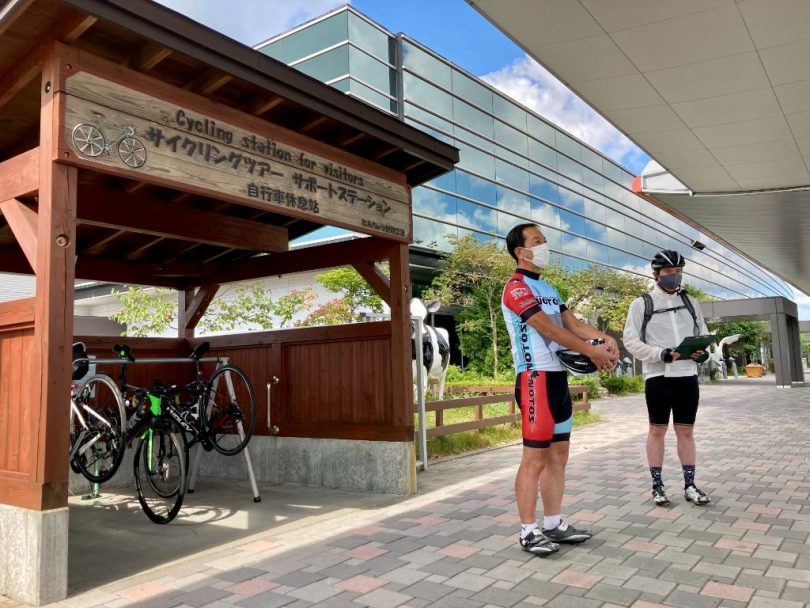
Kushiro Airport
The cycling starts at Kushiro Airport. Kushiro airport serves the five airports: Haneda (Tokyo International), Narita International, Kansai International, New Chitose, and Sapporo Okadama.
This time, we arrived at the site by Airdo from Haneda Airport.

Kushiro Airport has a support station for cyclists. There are bike racks, pumps, and a covered space to assemble bikes.
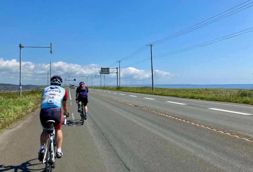
Kushiro Airport is located about 5km from the coast, on a hill about 100m above sea level. Therefore, when you depart from the airport, you can see the Pacific Ocean in the distance.
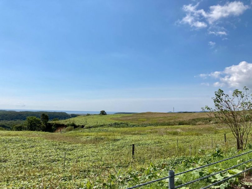
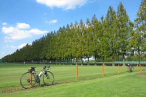
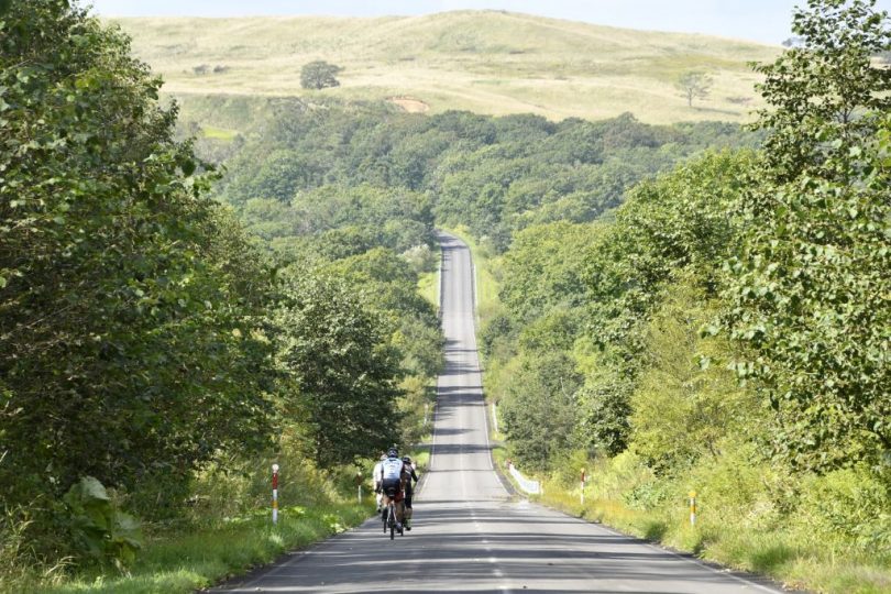
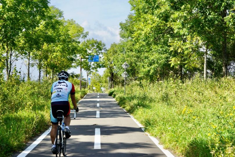
We will be riding on the most pleasant road, filled with the atmosphere of Hokkaido.
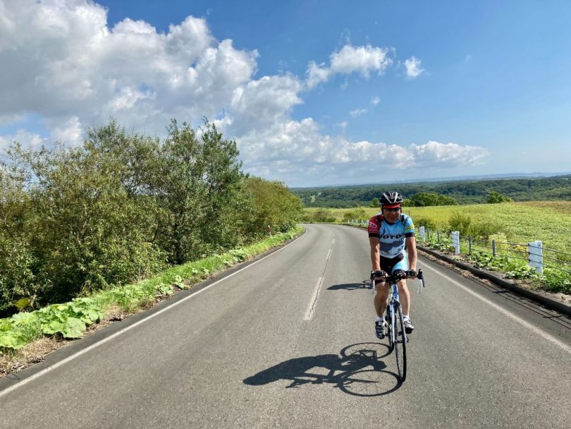
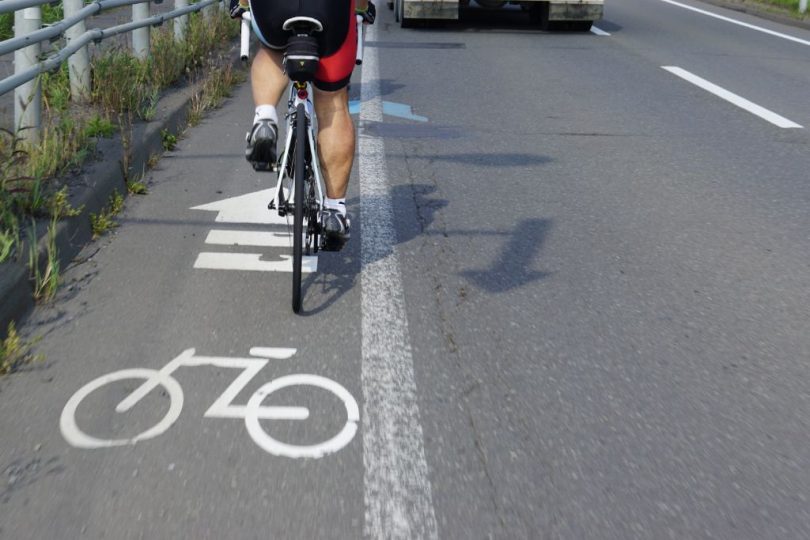
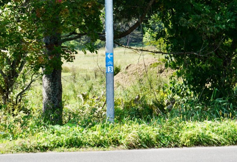
The road is marked with arrow feathers and pictograms to make it easier for cyclists to ride, and directional information and numbering (No.3 for Akan-Mashu-Kushiro marsh Route) are displayed on sign posts.
Roadside Rest Area Shiranukakoitoi
It is about 15km from Kushiro Airport to Shiranukakoitoi, a roadside rest area. On the right side of the road, we can see the Pacific Ocean that we saw in the distance earlier.
Soon we will see Roadside Rest Area Shiranukakoitoi.
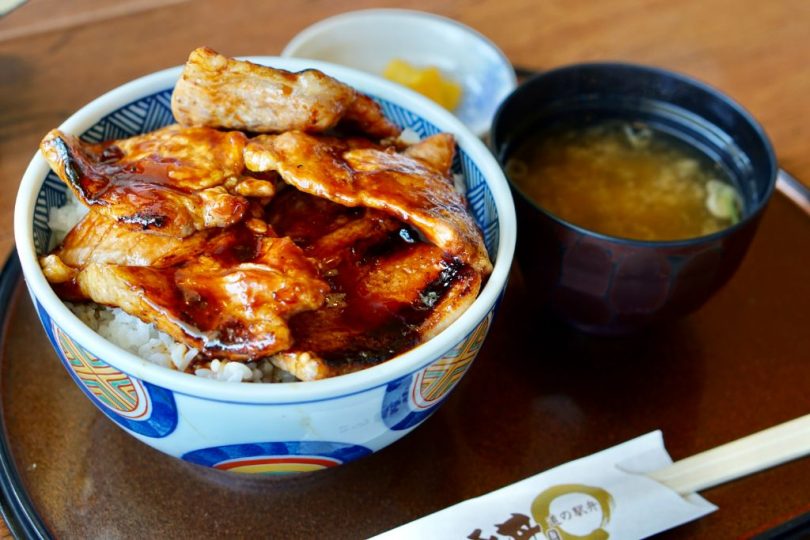
The specialty of this roadside rest area is the pork bowl at the restaurant, Moon Light. It features tender, thick, juicy pork!
Kushiro City
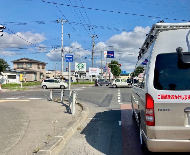
About 15km from the roadside rest area, Shiranukakoitoi, we arrived at Kushiro city center. Please be careful as there are many cars in the city center.
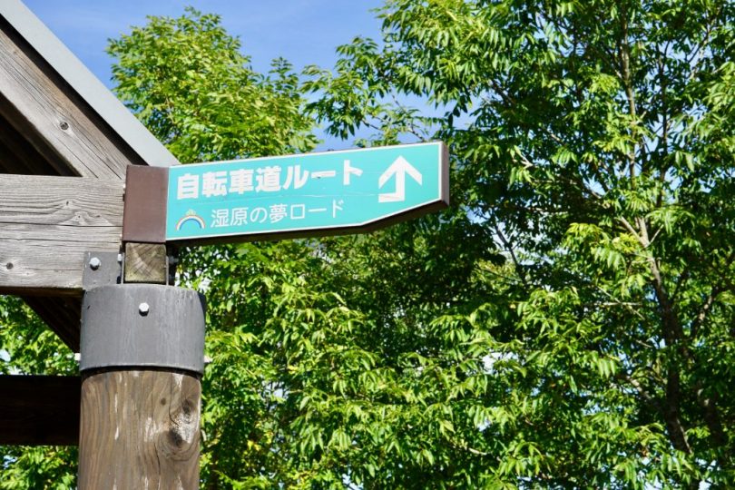
On the way, we stopped by the cycling road “Shitsugen-no-Yume Road” (The Dream of Marsh Road/Kushiro-Akan Bicycle Path Route). It is also a cycling road that connects Kushiro city to Akan town in the north, about 25km long.
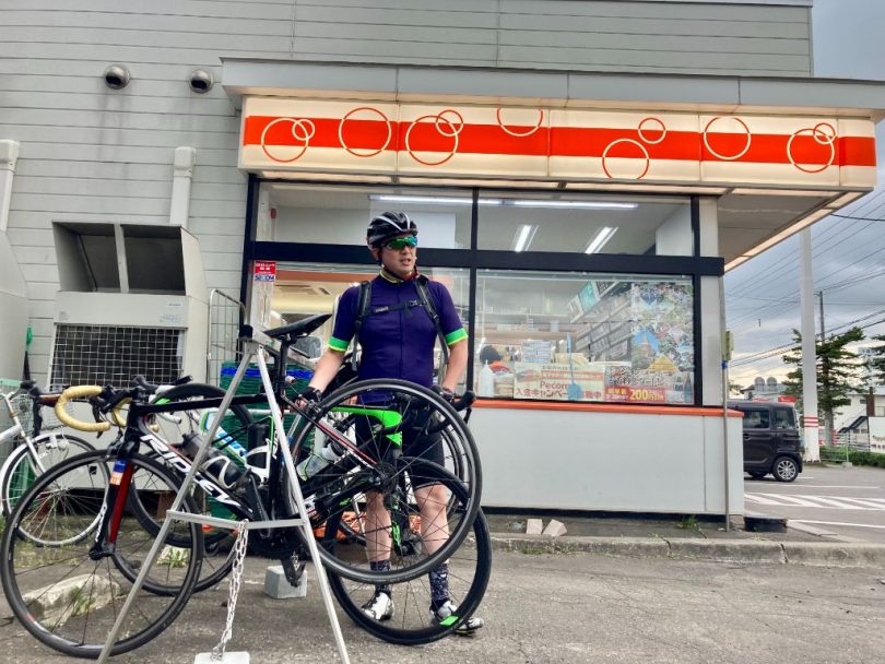
After passing through Kushiro city center, we took a short break at Seicomart, a local convenience store in Hokkaido. There is also a bike rack.

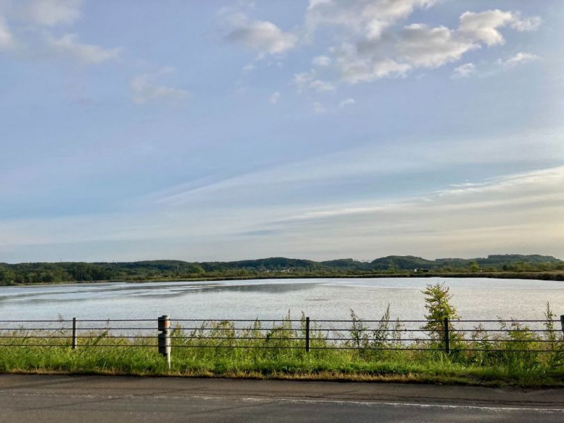
Lake Takkobu
Lake Takkobu is located about 15-16km north of Kushiro on National Route391 after passing through downtown Kushiro.
Lake Takkobu is a small 5km in circumference and is a former sea lake. It is the southernmost of the three lakes in Kushiro marsh (Lake Takkobu, Lake Touro, and Lake Shirarutoro), and firefly watching is possible in summer. The lakeside trailer/RV campground is well maintained, and we personally would like to visit this spot for camping next time.
Hoso-oka Observatory
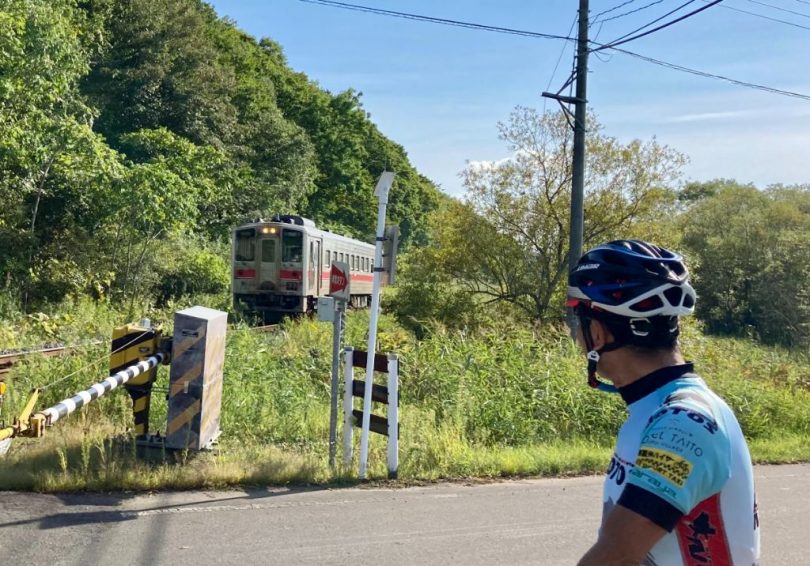
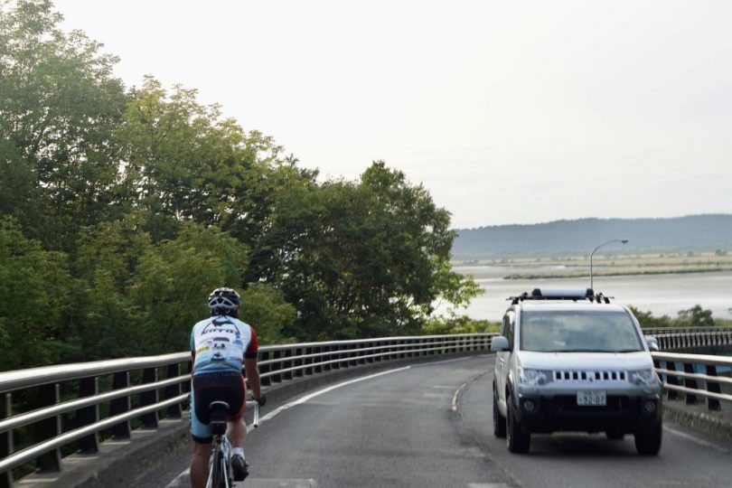
Cycling from Lake Takkobu toward Hoso-oka Observatory and crossing the railroad crossing of Senmo Main Line, we arrived at Kushiro River, which is popular among canoeists, nearby. The river is a calm and beautiful stream.
Senmo Main Line came with clanking sounds.
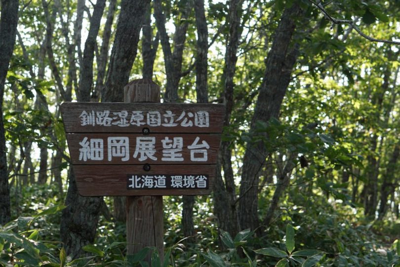
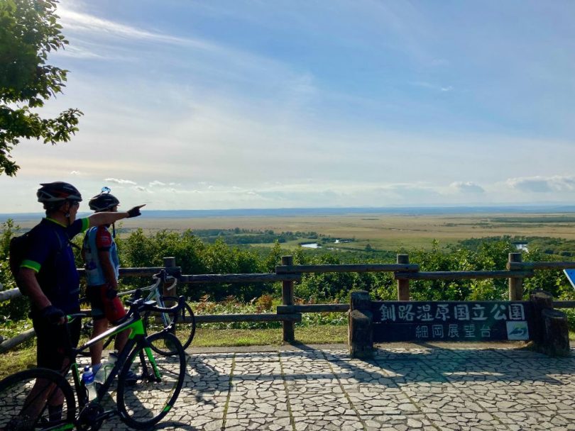
About 2 to 3km further back from here is one of today’s highlights, Hoso-oka Observatory.
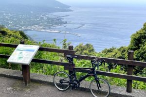
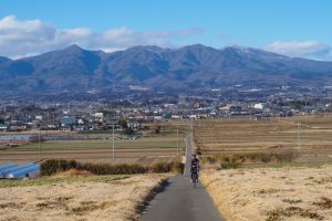
Located on the east side of Kushiro marsh, the observatory offers a magnificent view of Kushiro marsh, the meandering Kushiro river, Mt.Meakan and Mt.Oakan (both are caldera volcanoes) in the background. If you look further upstream along Kushiro river, you can see Mt.Mashu and Mt. Shari.
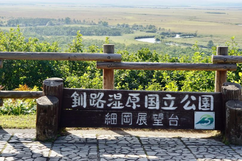
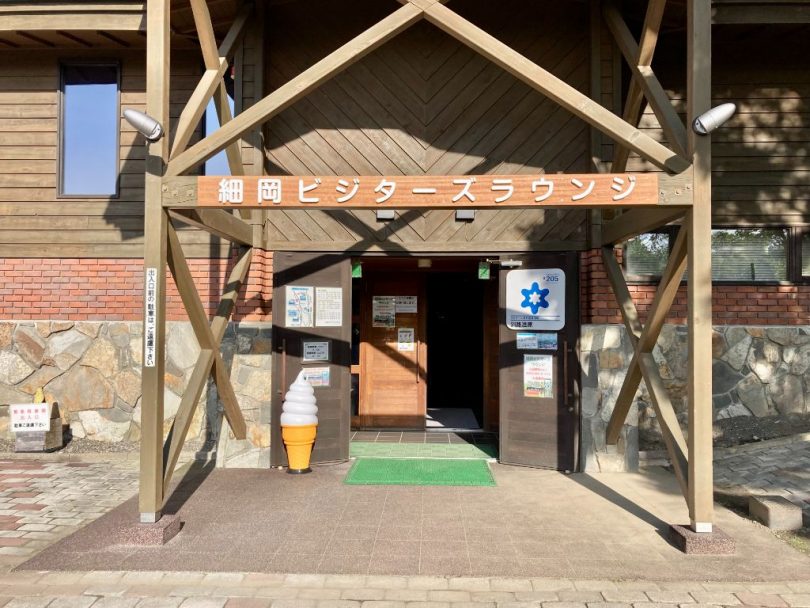
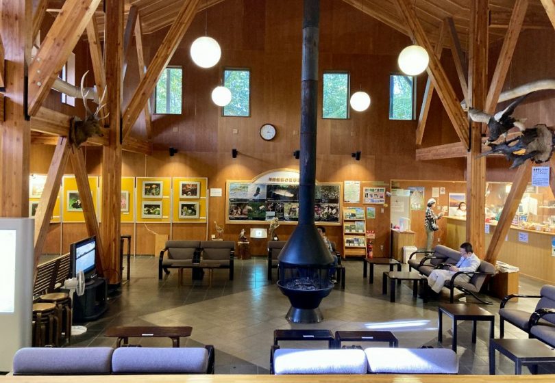
At the foot of the observatory is Hoso-oka Visitor’s Lounge, where you can take a break and enjoy photo displays and a coffee shop.
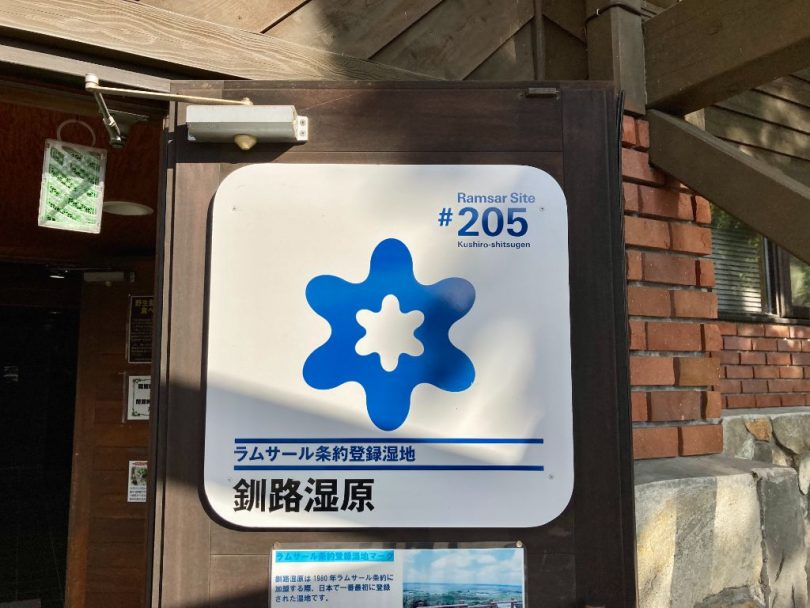
There is also a mark indicating that the area is designated as a Ramsar Convention wetland.
Lake Touro and Lake Shirarutoro
Returning to the road we came from, we headed north again on Route391 to Lake Touro and Lake Shirarutoro, about 10km away.
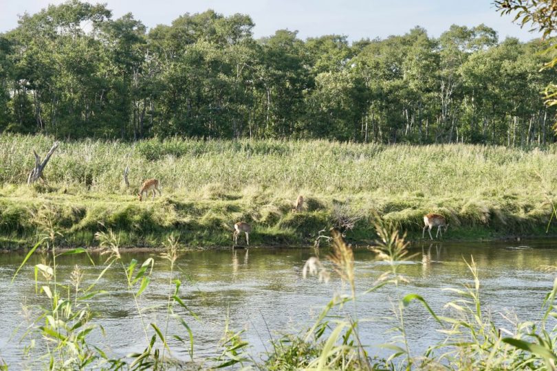
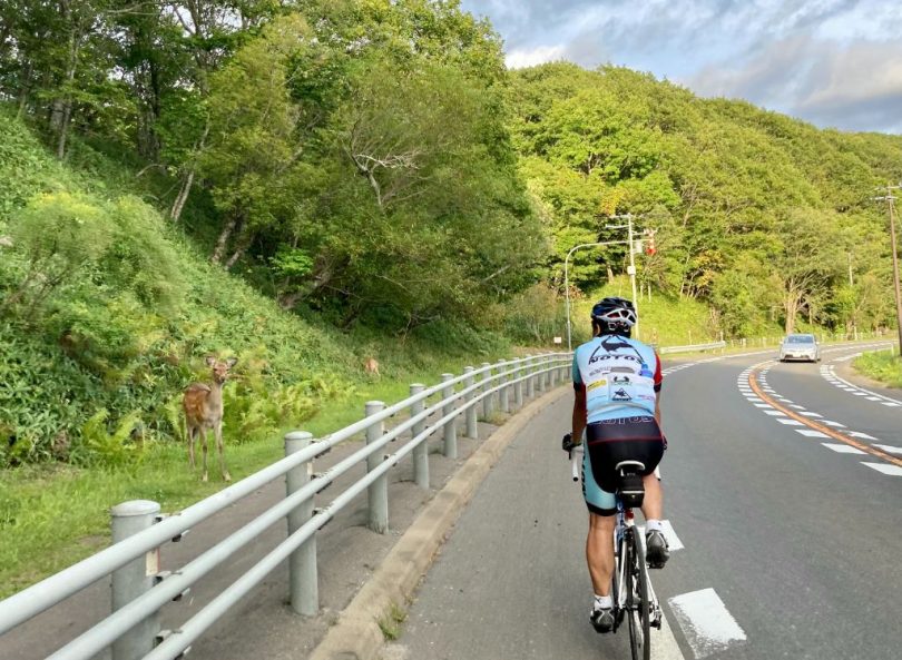
On the way, we encountered a herd of Yezo sika deer many times. It is only in Hokkaido, isn’t it?
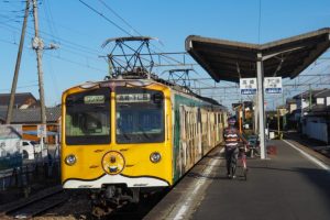
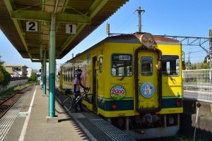
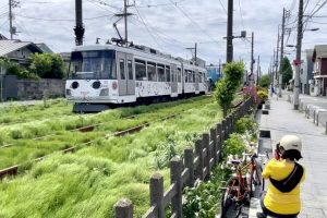
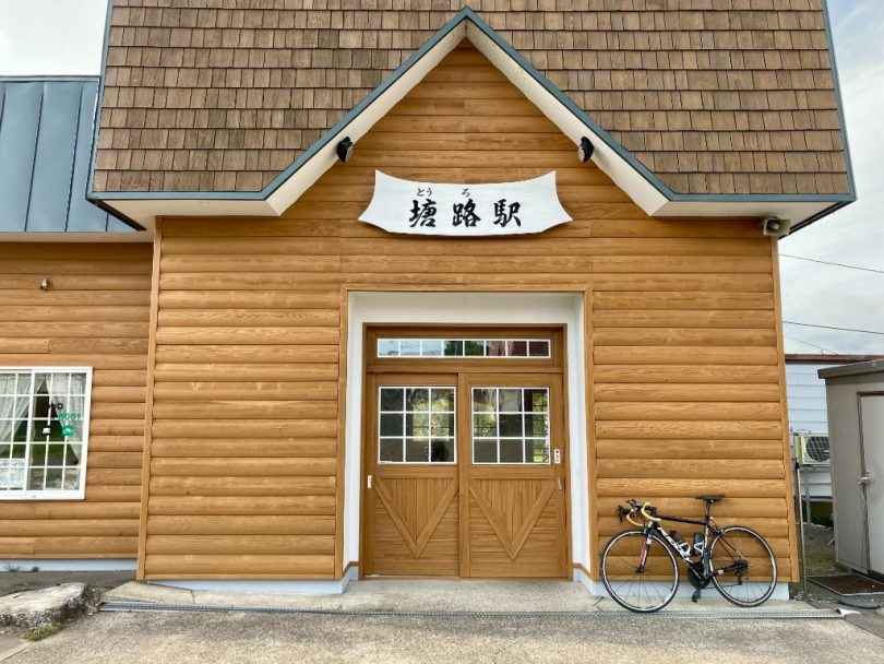
In front of Lake Touro, there is a nostalgic Touro station. We took a short break here.
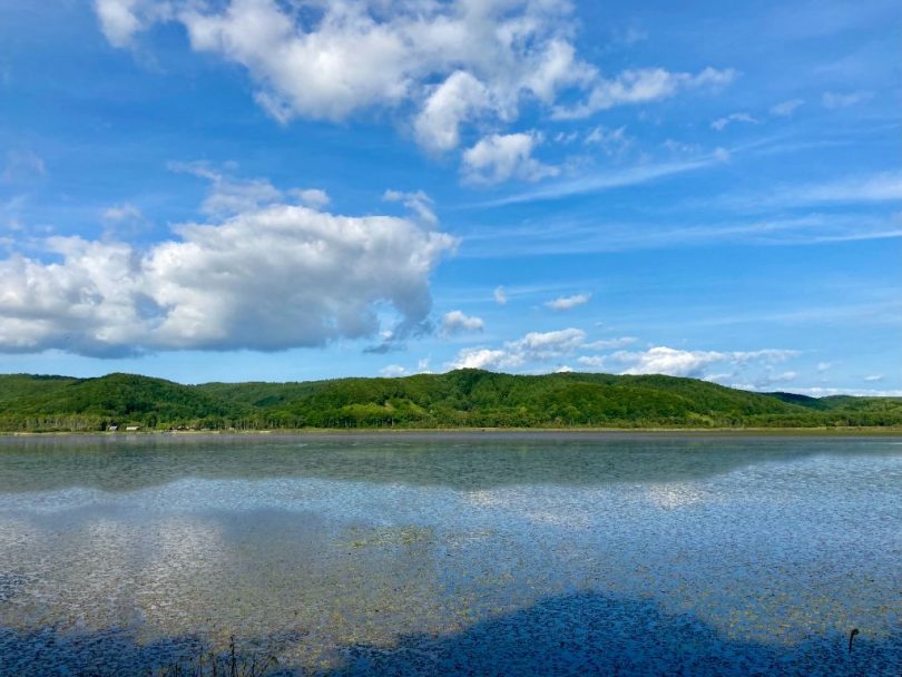
Lake Touro is 18km in circumference and the biggest lake among the three lakes in Kushiro marsh. Birds such as white-tailed sea eagles and gray herons live in the lake, and in winter, it is crowded with wakasagi (Japanese smelt) fishing on the ice.
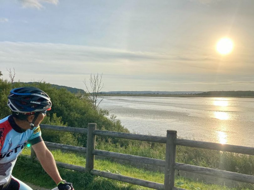
A little further up and down the slope is Lake Sirarutoro. Lake Shirarutoro has a circumference of 9.8km and is one of the most abundant waterfowl swamps in Kushiro marsh. During the spring and fall migration seasons, many waterfowl can be seen.
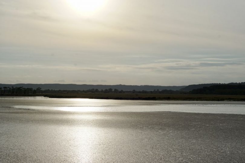
The surface of the lake is dazzlingly illuminated by the setting sun. It was indeed a beautiful moment of tranquility.
Shibecha Town
It is about 20km from Lake Shirarutoro to Shibecha town, where we will stay today. To Shibecha town, we just follow Route391, so there is no need to worry about getting lost.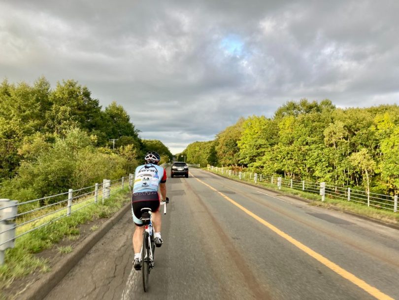
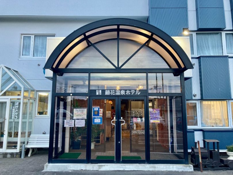
After a short break at Seicomart, we arrived at today’s lodging, Fujibana Onsen Hotel! I had lived in the eastern area of Hokkaido for six years, but this was the first time I knew there was a hot spring in Shibecha town.
Moreover, it is a moorl hot spring, which is rare in the world. They even allowed us to bring our bikes into the hotel, so we were very happy about that too!
▼Tancho Kushiro Airport
http://www.kushiro-airport.co.jp.e.acv.hp.transer.com/webtra/
▼Shiranuka Roadside Rest Area Shiranukakoitoi
https://hokkaido-michinoeki.jp/en/28929/
▼Hos-ooka Observatory & Visitor’s Lounge
https://en.kushiro-lakeakan.com/things_to_do/3651/