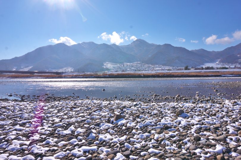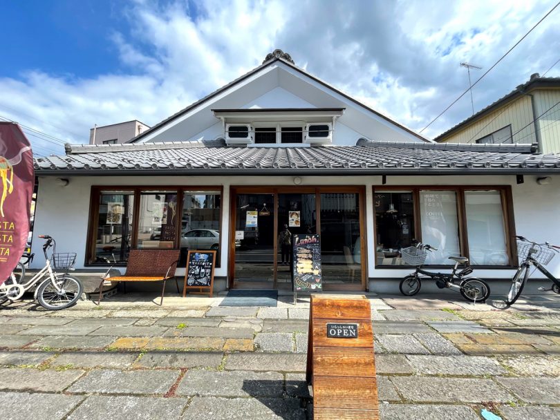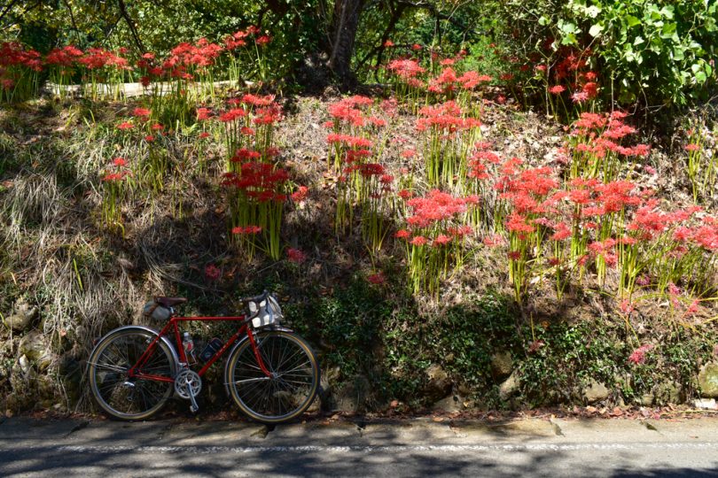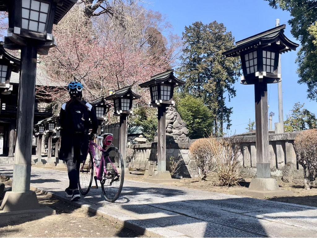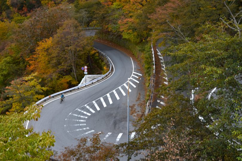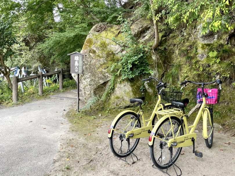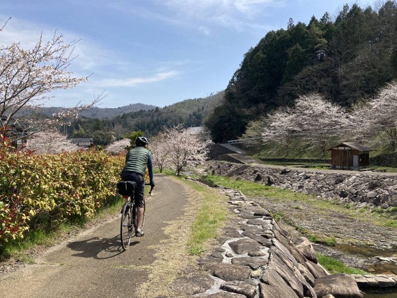
The total length of the 167-km bike tour, which traverses Chugoku region from Shimane to Okayama via Hiroshima, is moderate, at around 50km per day, and is recommended even for beginners who are not confident in their leg strength.
The tour offers various attractive stops along the way: crossing a lake Nkaumi, staying at a secluded hot spring resort, seeing townscapes that still bear a strong resemblance to the past, and enjoying the cherry blossoms that only this season can offer.
Contents
- Day 1: From Yonago Kitaro Airport across Lake Nakaumi
- To the inn of Japan Association for Secluded Hot Springs while stopping at Kumano-taisha Shrine
- Day 2: Encounter cherry blossoms recognized as one of the 100 best cherry blossom viewing spots in Japan
- Clear an elevation difference of 650m on a diesel train of JR Kisuki Line
- Enjoy the downhill ride to the former Tojo Town, which was a major transportation hub
- Stop by Taishakukyo Gorge, with its forests and canyons
- Day 3: After visiting historical sites in Tojo Town, cross the prefectural border to Okayama
- Descending the course of the hill climb event and ending the trip in the Little Kyoto of Bicchu
- Course Introduction
- Summary
Day 1: From Yonago Kitaro Airport across Lake Nakaumi
It was 10:40 a.m. when we boarded All Nippon Airways flight 383 from Haneda Airport and landed at Yonago Kitaro Airport in Tottori Prefecture.
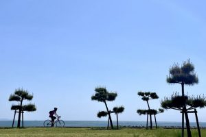
Shortly after assembling our bicycles and starting to ride, we crossed a bridge toward Eshima Island in Lake Nakaumi, and we were already in Shimane Prefecture.
We crossed Lake Nakaumi via Daikonjima Island, where tree peonies are cultivated, and headed for the ruins of Izumo Kokubunji Temple, which is said to have been the center of politics and culture in Izumo in ancient times.
Before long, we came upon a grassy area lined with reconstructed foundation stones. Well, it is a “ruins,” so there is nothing we can do about it. Let’s try to imagine what it looked like in the past, referring to the illustration on the explanatory board. The same is true of Izumo Government Ruins that follow.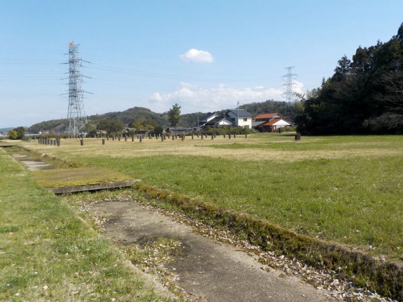
▲Izumo Government Ruins with reconstructed foundation stones
To the inn of Japan Association for Secluded Hot Springs while stopping at Kumano-taisha Shrine
The route follows Prefectural Route 53 along the Iugawa River via Hiyoshi Kiridoshi, a narrow ridge excavated to straighten a meandering river channel, and climbs 200m to the pass that borders Matsue City and Unnan City.
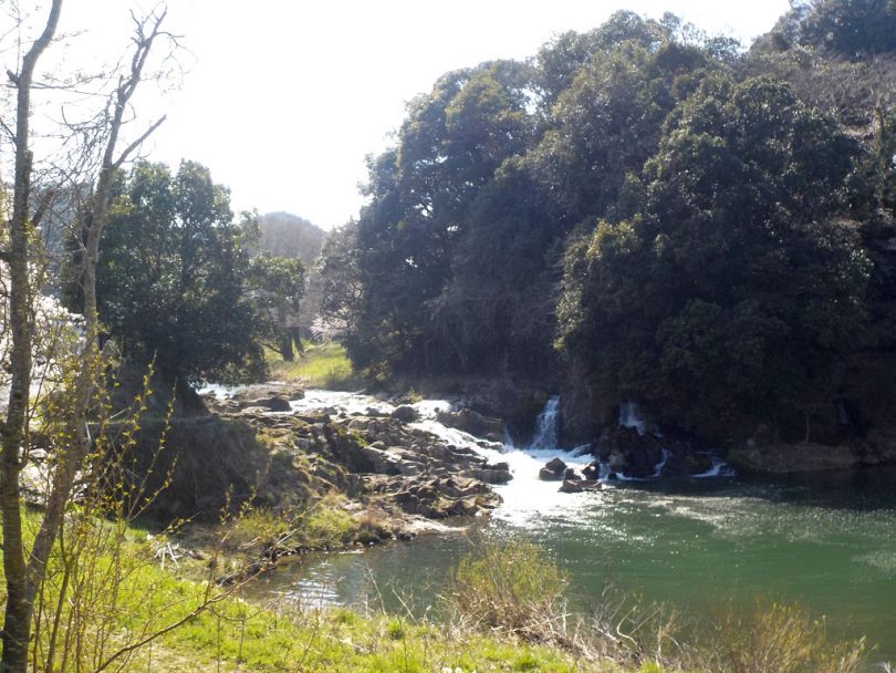
▲Hiyoshi cut-through excavated by a large farmer in the village
On the way, stop at Kumano-taisha Shrine, which appears on the right, to pray for the safety of the journey.
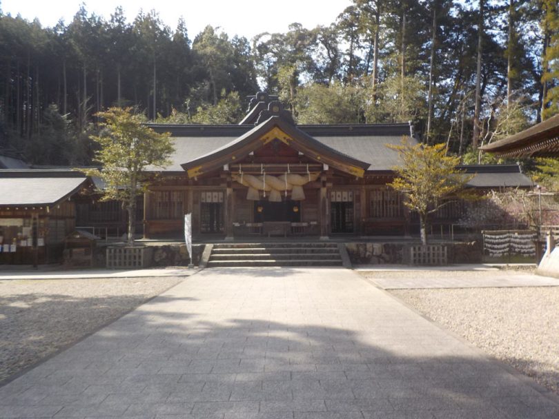
▲Kumano-taisha is “ichinomiya” (the first shrine) in Izumo Province, along with Izumo-taisha Shrine.
Three kilometers further on, as we approach the village of Suya, the road narrows to a single lane and the gradient of the road increases.
On the way down over a nameless mountain pass, we crossed a hot spring bridge over the Aka River, and slightly further along the other side of the river, we came upon “Ushio Onsen Ushio-so.” This is the only hot spring in Shimane Prefecture that is a member of the Japan Association for Secluded Hot Springs, and the mildly alkaline water in the open-air bath soothed my fatigue of the day.
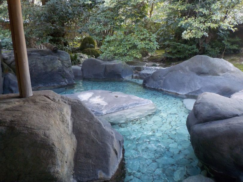
▲The open-air bath at Ushio Onsen Ushio-so decorated with large stones.
Day 2: Encounter cherry blossoms recognized as one of the 100 best cherry blossom viewing spots in Japan
The next day, after enjoying hot spring baths and food, we headed west toward Hinobori Station on JR Kisuki Line.
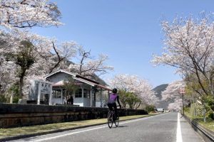
The road we hit, Prefectural Route 45, runs along Hii River, which falls into Lake Shinji, and Hii River bank is lined with cherry trees for 2km, recognized as one of the 100 best cherry blossom viewing spots in Japan.
We visited during the cherry blossom season, but there were not many people strolling along the path.
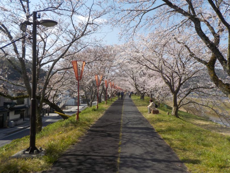
▲Few people strolling along Hii River bank lined with cherry trees
There is a submerged bridge (“Wishing Bridge”) over the river that sinks when the water level rises, and the view of the rows of cherry trees from there is also recommended.
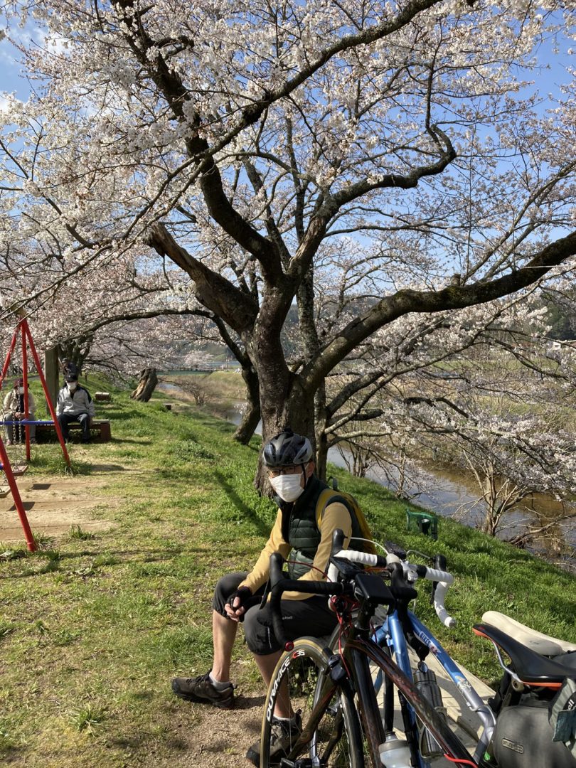
▲Take a break under the cherry trees in full bloom. At the rows of cherry trees along Hii River bank
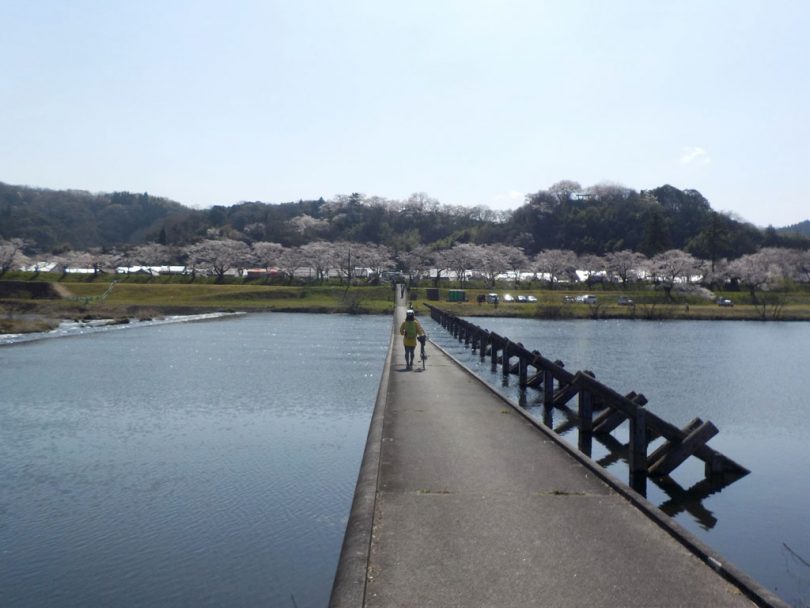
▲A distant view of the rows of cherry trees along Hii River embankment from the middle of Wish Bridge
Clear an elevation difference of 650m on a diesel train of JR Kisuki Line
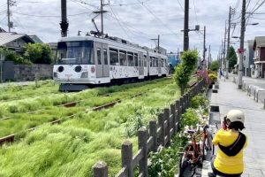
After disassembling and bagging the bicycles at Hinobori Station, we boarded a diesel train bound for Bingo-Ochiai that had just arrived.
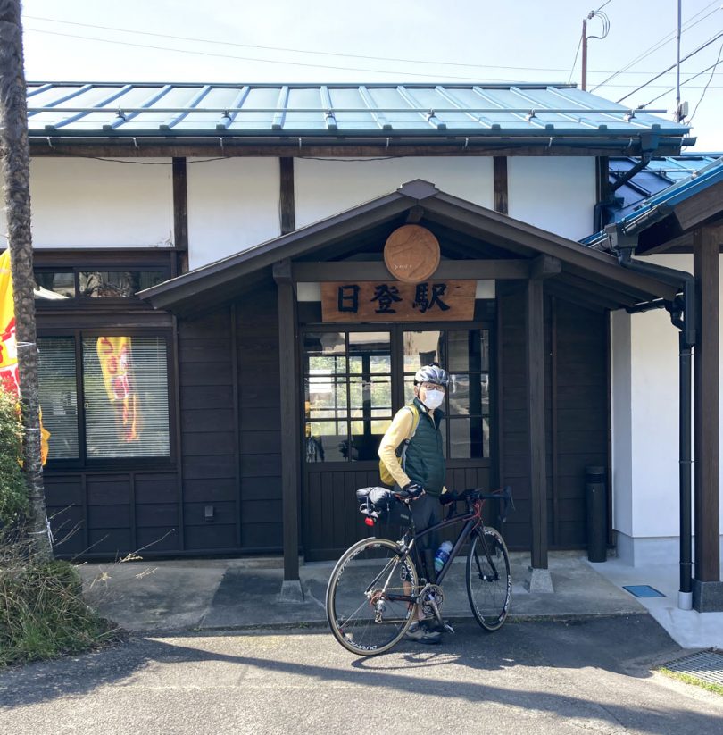
▲Arrive at Hinobori Station, which looks like a private house. Here we disassembled the bicycles and boarded the vehicle.
After two hours of riding, we arrived at Mii Nohara Station, the highest station in western Japan (727m above sea level), and were able to climb the 650m difference in elevation from Hinobori Station without breaking a sweat from our seats.
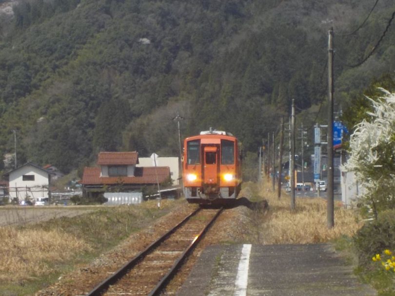
▲Arrival of a JR Kisuki Line train at the platform of Hinobori Station.
Enjoy the downhill ride to the former Tojo Town, which was a major transportation hub
Now, from here to Bingo-Ochiai Station, we headed south on Route 314 along the railroad tracks. Soon after crossing the border between Shimane and Hiroshima prefectures, traffic on the national highway was light and the houses along the road were sparsely populated.
Concentrate on riding down the slope where speed naturally increases.
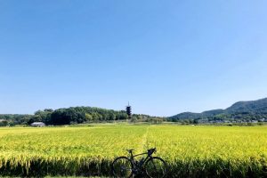
From Bingo-Ochiai Station, where JR Kisuki Line connects with JR Geibi Line, the peaceful scenery remains unchanged, and only the gradient of the road begins to climb. The scenery opens up as the road approaches Onuka, Shobara City, and we eventually reach the urban area of the former Tojo Town (now Tojo Town, Shobara City), which prospered as a major transportation hub.
Stop by Taishakukyo Gorge, with its forests and canyons
Taishakyo Gorge is located 10km southwest on Prefectural Route 25, turning right at Tomosue intersection in front of the Chugoku Expressway guard.
There are five inns in the scenic area designated as a national scenic beauty spot, and one of them, Taishakyo Kanko Hotel Kinsaikan, was our lodging for the day.
When we entered the room we were shown, Lake Shinryu spread out outside the window.
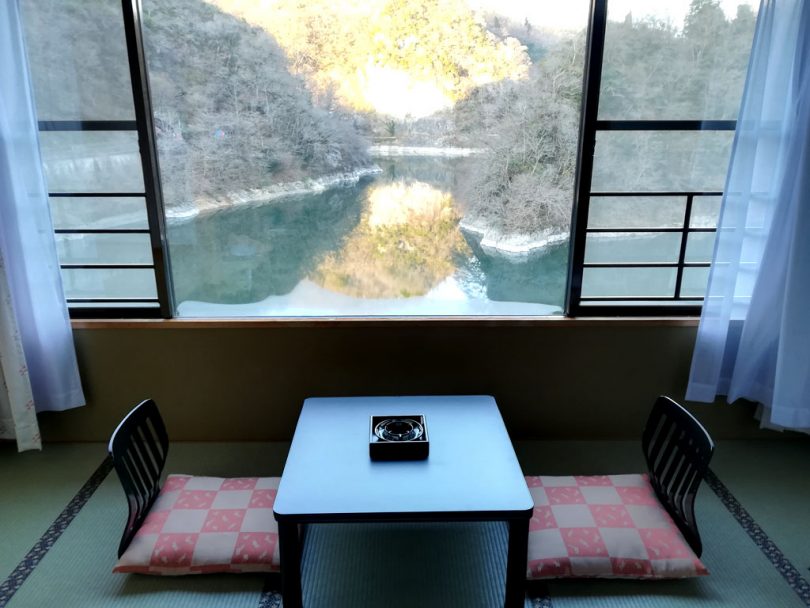
▲A view of Lake Shinryu from the room at Taishakyo Kanko Hotel Kinsaikan.
The next morning, we went back the way we came after touring around the lakeside, but if you have time, you may want to take a sightseeing boat or a rental boat.
Day 3: After visiting historical sites in Tojo Town, cross the prefectural border to Okayama
On the third day, we will visit historical sites such as Sanrakuso, Kitamura Brewery, and Furukawa Printing Works in the former Tojo Town, which we revisited, and then cross the prefectural border to Okayama on Prefectural Route 50.
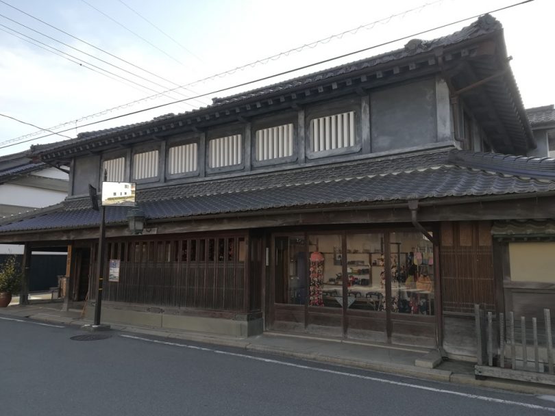
▲Sanrakuso (former Hozawa family residence), representing the townscape of the former Tojo Town.
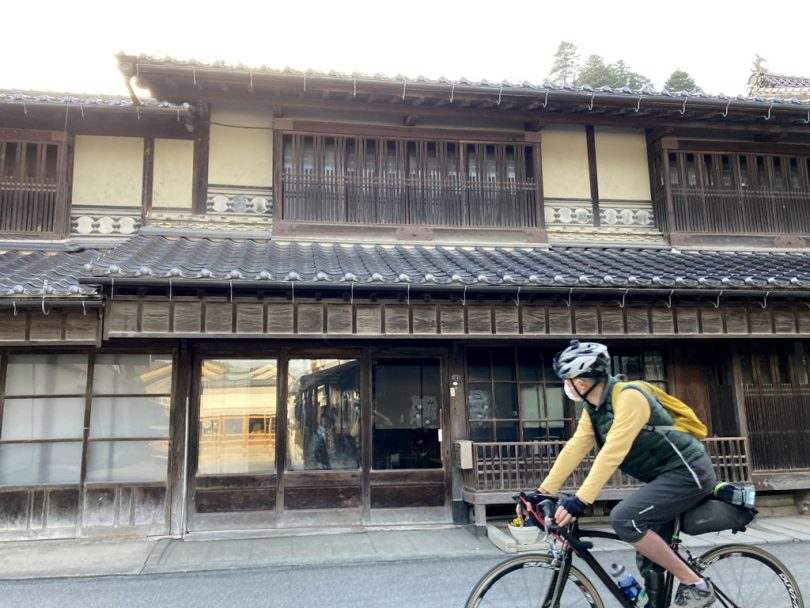
▲The merchant house in the background is Furukawa Printing Works. Beautiful rows of houses in the former Tojo Town continue in this area.
In Tetta town, Niimi City, down Prefectural Route 157, we were greeted by cherry blossoms at Seseragi Park along Jotani River. From here, it is a 300m uphill walk to Fukiya Furusato Village, known for its red streets with Sekishu-gawara tiles and Bengara plaster walls.
After entering Prefectural Route 85, the gradient becomes steeper, so use light gears and go up slowly.
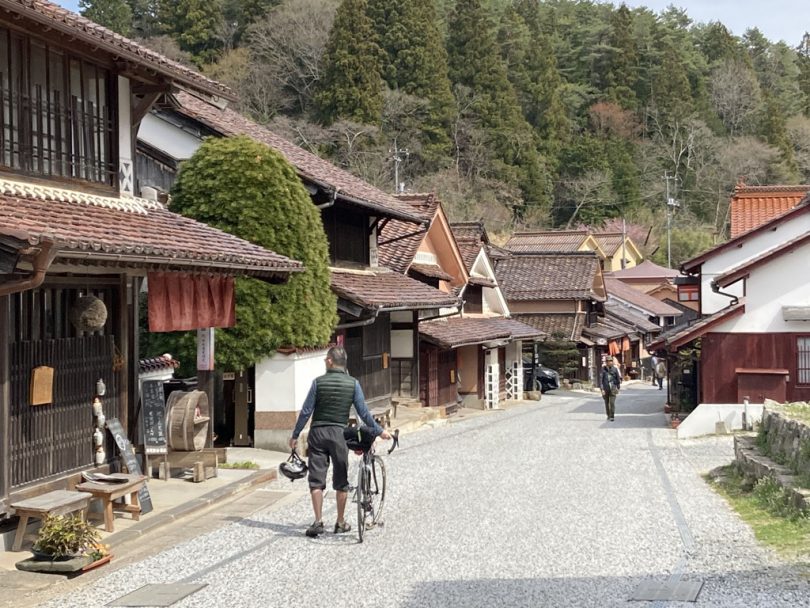
▲At Fukiya Furusato Village, it is recommended to get off the bicycle and take a leisurely stroll.
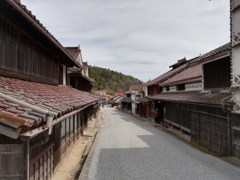
▲The red streets with bengara-plastered walls that symbolize Fukiya Furusato Village
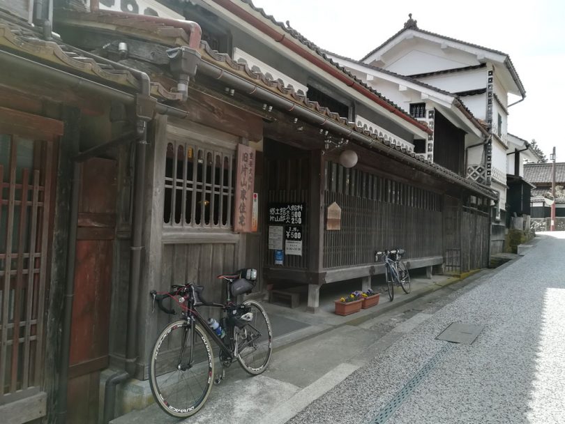
▲The former Katayama Residence, a typical early modern bengara merchant house and designated as a National Important Cultural Property.
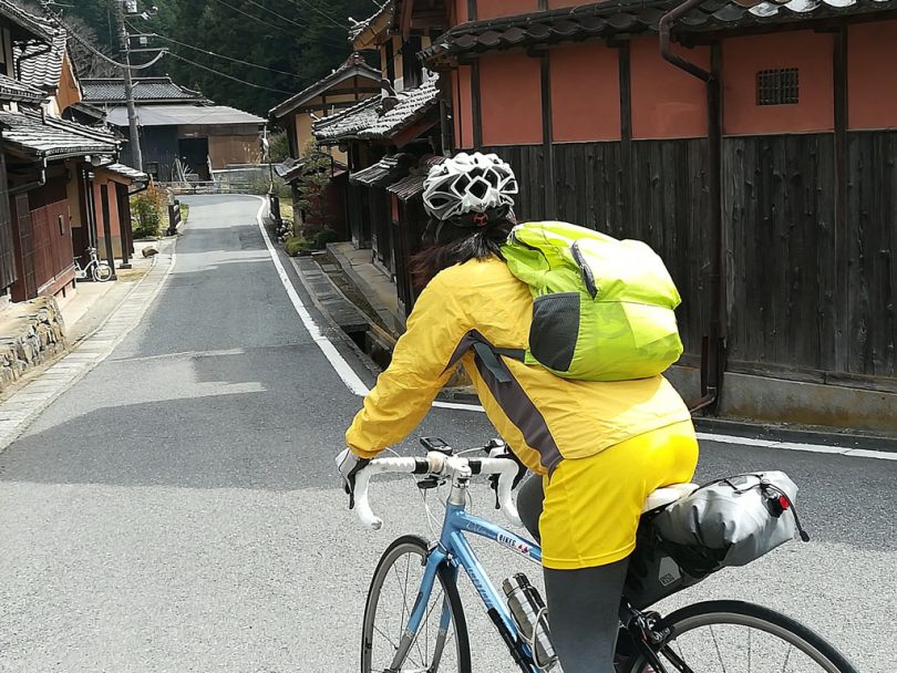
▲There is also a Bengara-plastered village in Shimotani, which is off the edge of Fukiya Furusato Village.
Descending the course of the hill climb event and ending the trip in the Little Kyoto of Bicchu
After enjoying a short time trip in Furusato Village, head down the road used for the Takahashi Fukiya Furusato Village Hill Climb Event, which has been held 10 times, to Takahashi.
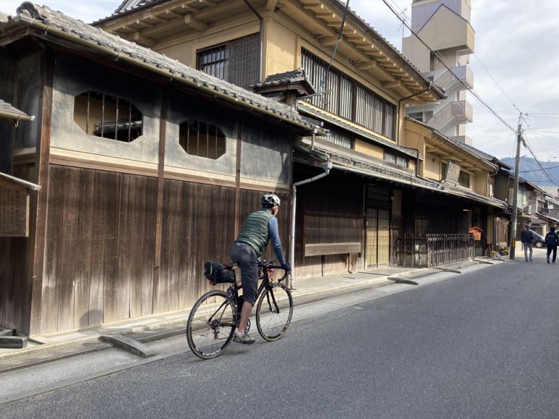
▲Merchant’s House Museum, the former residence of the Ikegami family, which made its fortune through the production and sale of soy sauce.
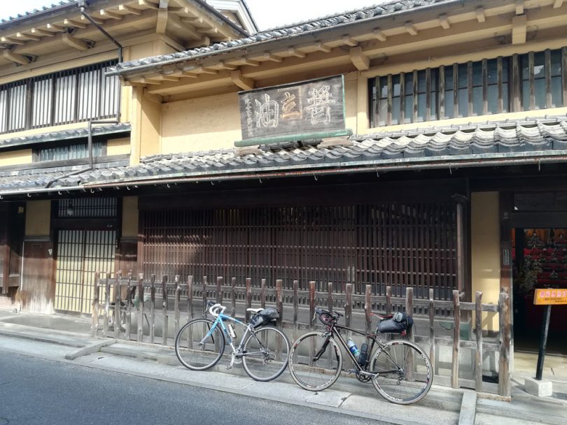
▲In front of the Morisawa Sake Brewery, which used to brew sake. About 500m down the street from the museum.
After arriving at Okayama on JR Hakubi Line, all that remained was to catch the Shinkansen bullet train. The trip this time included a stopover at Taishakyo Gorge because it was a 3-day/2-night trip, but the distance from Mitsui Nohara Station to Bicchu Takahashi Station is 97 km if the former Tojo Town and Taishakyo Gorge are omitted, so it is possible to complete the trip in a single day.
Course Introduction
Summary
The cherry blossoms are blooming earlier than usual this year, but you can still make it if you head north (in 2023, Morioka City is expected to be in full bloom on April 10, Aomori City on April 17, and Sapporo on April 24).
The first day you think of it is the best day of the year. After making arrangements for flights, trains, and accommodations on an Internet reservation site, pack your bike bag and head out. Of course, even in areas where the cherry blossoms have already fallen, the season for fresh greenery is just beginning.


